|
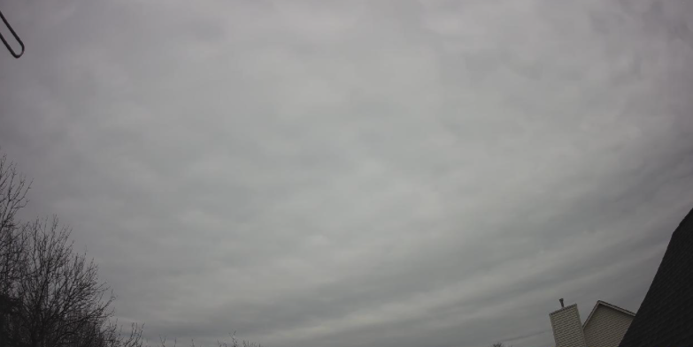
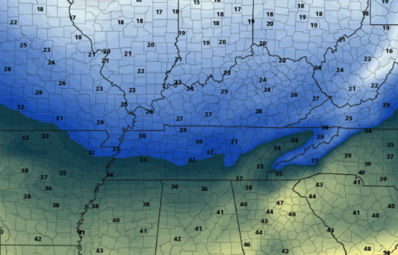
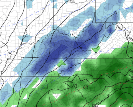
Good afternoon! After another chilly weekend, we start off pretty mild. Temperatures for the southern half of the state are much more mild than the northern half. Reason being? Cloud cover. Low level clouds are hanging around the northern tier of Tennessee. Satellite does show trends of this slowly eroding through the afternoon, until then, slightly cooler and a lot less sunshine. This cloud cover is all associated with a disturbance across the Great Lakes. It will again increase overnight tonight, with remnant coverage into the day tomorrow. A fairly dry cold front will also slide through tomorrow, bringing much cooler air for Wednesday. Other than a few sprinkles tomorrow, most will stay dry. Looking at high temperatures Wednesday, it is going to be another chilly one! Highs for valley locations will range from the mid to upper 30s and low to mid 30s for the Plateau and foothills. Temperatures should rebound toward Thursday, with yet another opportunity for rain/snowfall Friday and the early weekend. Touching more on this late week event, we are in good location for snow. Guidance has been all over the place with this system, so this is to say "who knows" for right now. We will continue to eye consistency between runs and other data, but for now, anticipate isolated rain to snow mix at a ~30% chance. That will wrap it up for today, be sure to bundle up mid week as the cold front slides through the afternoon tomorrow. Another system could clip us late week, but the confidence and level of uncertainty remains high for now. Tune back in for a better idea as we work ahead. Pre-recorded for 5pm show
0 Comments
Leave a Reply. |
Your trusted source for everything weather in East Tennessee.
Social Media
|


