|
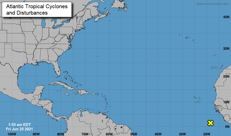
Good news to end the work week: drought conditions have continued to improve. Nearly all the dry spots across East Tennessee have vanished with only a few counties in the west engulfed in the "abnormally dry" this morning. A fairly dry pattern will continue into early next week before better shower chances make a return. After a busy start to hurricane season, the Atlantic is once again pretty quiet. A disturbance is off the coast of Africa, but it is too soon to tell if this will develop and where it may go. Earlier in the week we touched on the idea of heavy rainfall and flash flooding potential. More good news for Tennesseeians -- we miss this opportunity. A low and front are across the Midwest and Upper Mississippi Valley, expecting to dump 7+ inches of rainfall for parts of Illinois. Here at home, high pressure is locked in off the coast of the Carolinas, providing drier weather across the Southeast. Other than a few isolated to scattered afternoon showers/storms, anticipate to stay dry, warm, and muggy this weekend and next week. We will be off this next week from posting on the site, but we'll continue to provide weather updates via Twitter/Facebook. If you don't follow us already, you should! @SecretCityWx Pre-recorded for 5pm show
0 Comments
Leave a Reply. |
Your trusted source for everything weather in East Tennessee.
Social Media
|


