|
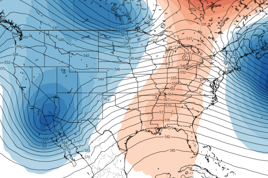
Conditions this afternoon are somewhat gloomy with cloudy conditions and mild temperatures. This shot comes from I-40W in Knoxville. A few showers still hang out in the Smokies, otherwise we are dry across East Tennessee. Temperatures are currently in the lower 40's with high's likely topping out in the upper 40's. A few isolated showers could be possible for the deep southern counties of Tennessee, otherwise we stay dry this evening and overnight. Working ahead, high pressure builds in for Friday clearing things out but keeping things near the norm (mid 40's). Overall, conditions continue to improve the next couple of days. Sunny skies stick around for Saturday before our next weather maker inches in late Sunday. Heavy showers are likely early next week giving way to flash flooding potential across the state. Looking a little more in detail, temperatures are expected to be above the average early next week (indicated by the red). Along with abnormally warm temperatures, we will see abnormally high rainfall as well. We touch on this a bit more in the video forecast below, but guidance & ensemble data is suggestive of 2"+ of rainfall Sunday night through Tuesday. Some areas could see as high as 4 inches over this period so we are keeping a close eye on magnitude, duration, and location. The next few days should be pleasant before heavy rain chances arrive late weekend and early next week. Changes are likely but flash flooding potential is on our radar. More details below.
0 Comments
Leave a Reply. |
Your trusted source for everything weather in East Tennessee.
Social Media
|


