|
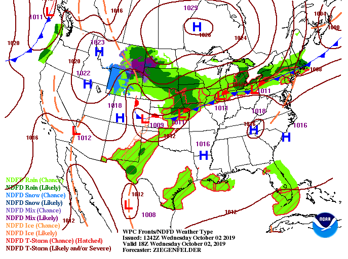
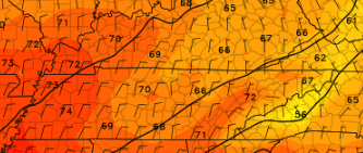
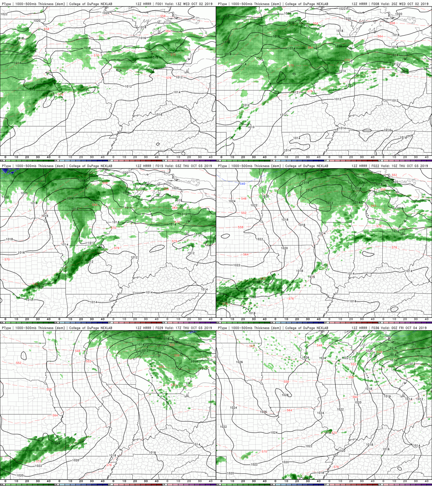
Today will likely be another record-shattering high day with temperatures in the mid 90's. Luckily, we will have cooler temperatures move in Friday, allowing high's back in the low to mid 80's. Even better news, the low pressure system sitting off of the western coast will meander east, providing near to below average temperatures and rain chances, as we get into the beginning of next week. So, taking a look at next week to get a little sneak peak of what we could see, this is for Monday afternoon. High's expected to be in the lower 70's with rain chances likely, as well. We are FINALLY transitioning toward a fall-like pattern, so 90 degree days will likely be behind us after tomorrow. Nonetheless, long term we will likely stay above the average into the later half of October, but relative to what we have had, cooler temperatures in the forecast. Not much activity expected with the latest model guidance, as the high pressure system across the area will lock in dry conditions and hot temps. This will continue into Thursday too, with rain chances not arriving until the afternoon/overnight hours Sunday and into Monday. Thats all we have for your Wednesday, but better conditions (closer to average) are on the way! Be patient and stay cool and hydrated in the mean time.
0 Comments
Leave a Reply. |
Your trusted source for everything weather in East Tennessee.
Social Media
|


