|
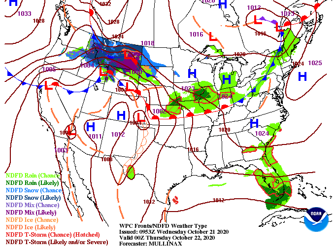
A good Wednesday morning to you! Looking overhead I-40E in the West Hills area of Knoxville, things are quiet (weather-wise). We can see there in the background, as well as satellite, things are mostly clear to start the day. For the day itself, anticipate it to be relatively warm with sunny skies and high's around 80. With a high pressure system remaining just to the east, return flow from its anti-cyclonic (clockwise) circulation is allowing warm air to funnel in. Changes do come later Friday as cloud cover and a chance for limited moisture work across the region. A look at model guidance paints the story. Things stay warm and dry today and tomorrow before a low moving through the Great Lakes brings showers and a weak cold front through East Tennessee. This next system won't be too impressive with upwards of a few tenths of an inch possible Friday and Saturday. Longer term is where we will see the largest changes with another shot of cold air and the chance for heavier showers and storms. For more details into when you can expect this shot of cold air, watch today's video forecast. A little hint though, we will more than likely find high's back into the 50's and low's into the lower 30's to upper 20's. Until the swing in conditions, expect things to stay at to above average with a mix of showers scattered in for early this weekend and again early next week. Pre-recorded for 5pm show
0 Comments
Leave a Reply. |
Your trusted source for everything weather in East Tennessee.
Social Media
|


