|
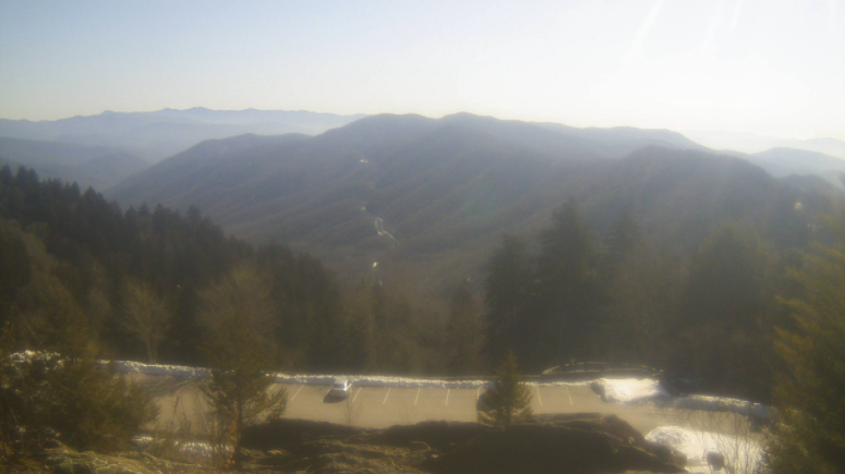
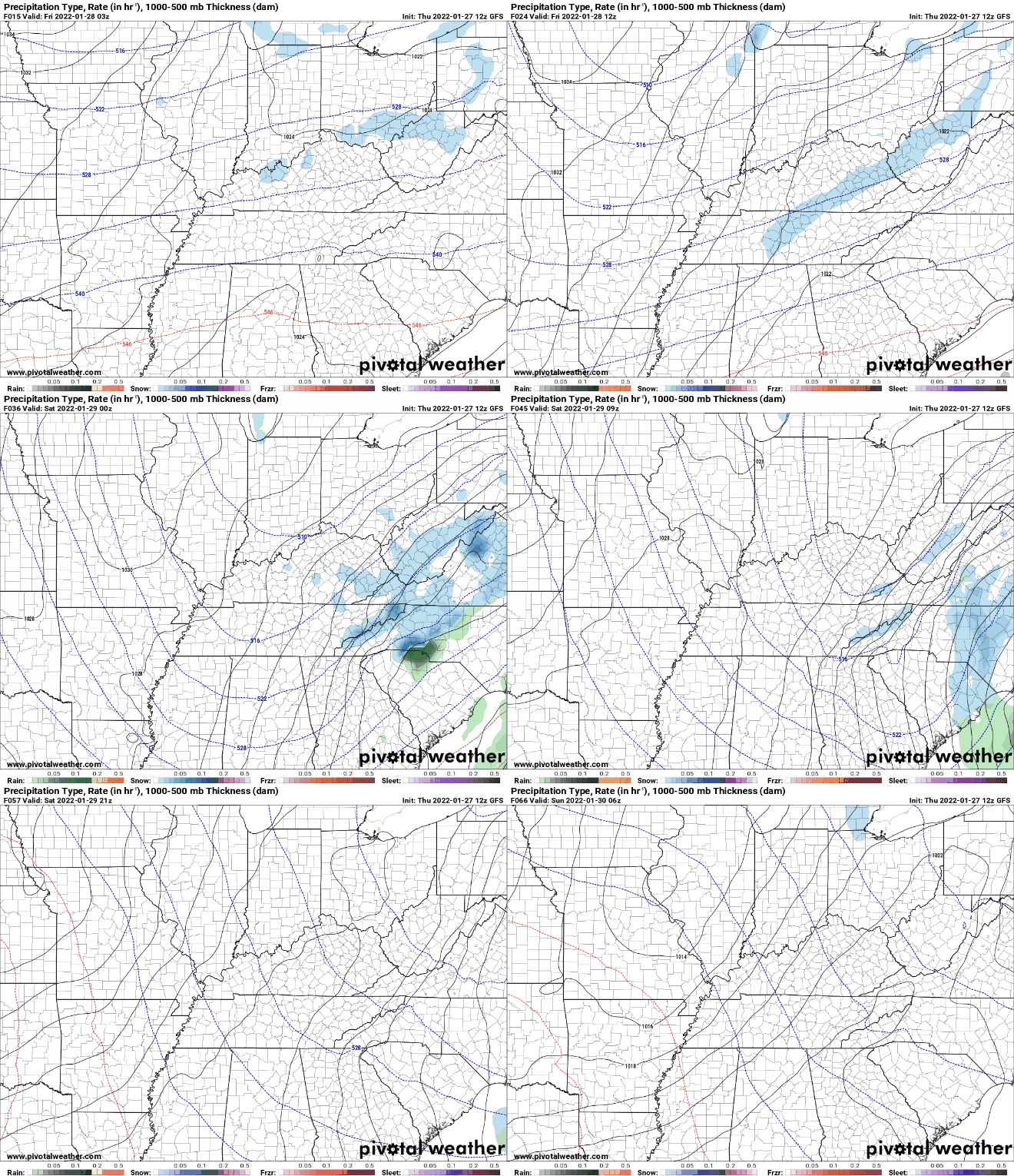
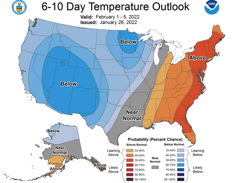
Mostly sunny skies are present across the high terrain (Newfound Gap) late this morning. An approaching disturbance and front will bring additional cloud cover this afternoon, resulting in mostly cloudy skies for Friday morning. Remnant snow also remains at this 5,000 foot mark, with 7.5" still remaining on the ground. Moving forward, a weak disturbance will cross the area, bringing limited opportunity for a few light rain showers to snow showers. No impacts are expected with this system for the central valley, but the Smokies will likely see several inches through the second half of Friday and into Saturday morning. The biggest impacts will be seen in temperatures. Overnight lows Friday will range from the upper single digits to mid teens for East Tennessee. Highs Saturday won't make it feel too much better, topping out in the 20s to low 30s. Further ahead, a bit of change is expected. Given the cold January we've had thus far, a change to near/to above average temperatures is anticipated for the beginning of February. Though we likely have not seen the last of winter, it is nice to feel some warmer air return to the Volunteer State. We'll even have highs this next week back into the low and mid 50s. Other than increasing clouds this afternoon, today should be pretty mild. Highs will top out in the mid and upper 40s with winds light and out of the south/southwest. Have a good one and bundle up for the cold swing expected into Friday night. Highs tomorrow will top out in the mid 30s to around 40 degrees. Pre-recorded for 5pm show
0 Comments
Leave a Reply. |
Your trusted source for everything weather in East Tennessee.
Social Media
|


