|
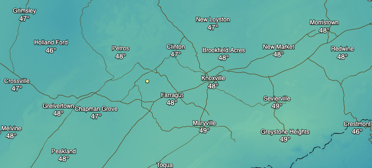
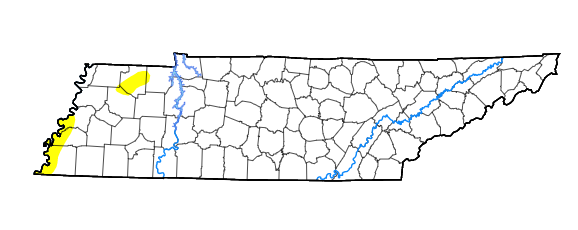
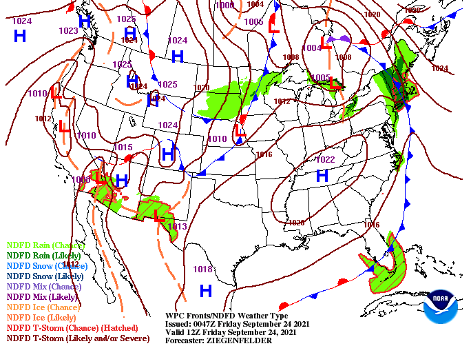
Check out temperatures (8am) across the area this morning! Very chilly start, especially for this time of the year, as our average lows are in the upper 50s. With daytime heating, we'll warm up to highs in the low to mid 70s with plenty of sunshine above. Changing gears, the drought map for this week looks normal. There are a few patches of abnormally dry, otherwise things look just fine. We will need to keep a close eye on things though long term, especially with dry air expected to hang around for some time. Looking at the surface map (below), high pressure will dominate much of the Southeastern USA. This will leave things dry through at least early to mid week with temperatures climbing back up into the 80s. For reference, the average high in Knoxville for late September is around 80 degrees so we'll be on the warmer side of things. That will do it for today...as always thanks for your support and have a wonderfully sunny and warming weekend! Pre-recorded for 5pm show
0 Comments
Leave a Reply. |
Your trusted source for everything weather in East Tennessee.
Social Media
|


