|
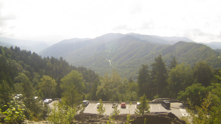
The views for late August across the Smokies are pleasant, with a mix of sunshine and clouds for the lunch time hour. As we work into the afternoon, shower chances will pick up, with isolated activity possible through early this evening. Highs will be warm and muggy as well (and will continue to be), topping out near 90 degrees. We do have some good news to share...after several weeks of very dry conditions (even severe drought and greater), West Tennessee has improved greatly. There is still some locations facing moderate to severe drought, but on a much more isolated scale than previous outlooks. Hopefully this trend continues and we see near normal conditions for the entirety of the state. Overall, a boring summer-time pattern will find us through early next week. Afternoon pop up showers and storms will be possible each day, with afternoon highs in the upper 80s and low 90s each day. It will feel a bit warmer with the higher humidity, but nothing we haven't already seen so far this year. A cold front then approaches Tuesday, bringing better rain and storm chances to the area. Pre-recorded for 5pm weather broadcast
0 Comments
Leave a Reply. |
Your trusted source for everything weather in East Tennessee.
Social Media
|


