|
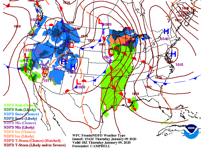
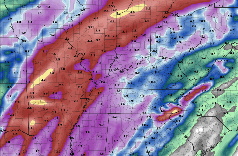
Good afternoon! We started the morning sunny but cloud cover continues to work in from the west, as seen from GOES-East below. A large and powerful system is expected to bring heavy rains, damaging winds, and the possibility of tornadoes to states near the Gulf tomorrow and Saturday. Showers will begin working in tomorrow afternoon as this system continues to move east. The severe threat for us comes Saturday afternoon with stronger showers and storms arriving on the tail-end of this system. Sunday we will begin clearing back out with partly sunny skies and high's back in the upper 50's. Taking a look at one of the many models, we will stay dry today before scattered showers work in tomorrow afternoon and overnight. Scattered showers will continue into Saturday before a line of strong to severe storms work through ahead of the front. Expect gusty winds, heavy rains, and the chance for isolated spin up as this system moves through. Once this last "tail" of storms passes, cooler and drier air will work in for Sunday. Overall rain totals from this system will be between 0.5" and 1". Higher amounts are more likely as you work into both southern and middle Tennessee. For here at home, half an inch to an inch is a safe bet with locally higher amounts possible in heavier cells. Continue to check back in with us on the latest with this system. We will see gusty winds, heavy rains, and thunderstorms at times, so be weary of the chance of severe weather the second half of the day Saturday. As always though, we will be here to let you know the latest; have a good one!
0 Comments
Leave a Reply. |
Your trusted source for everything weather in East Tennessee.
Social Media
|


