|
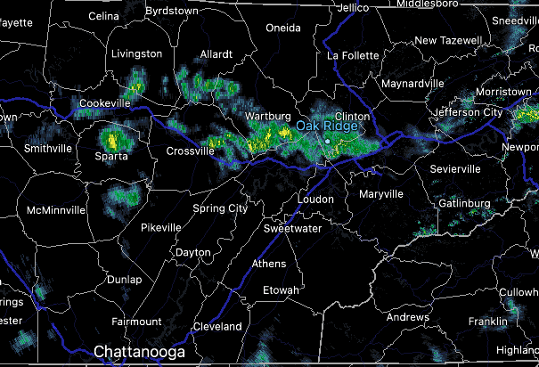
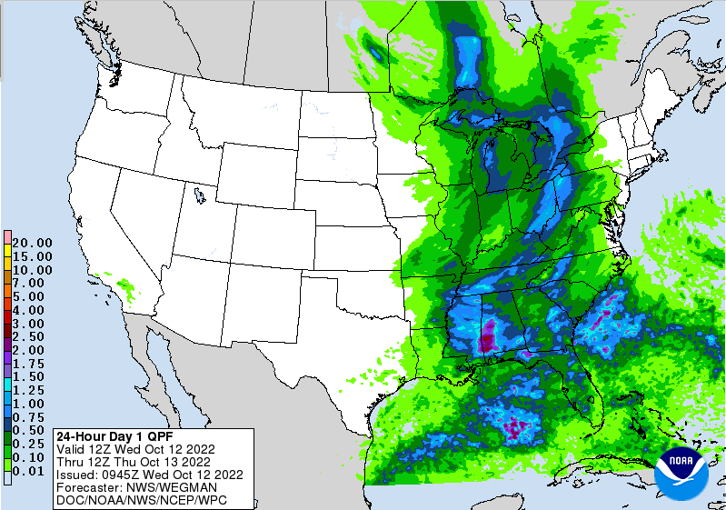
Good morning! Rainfall has finally returned to the area, as indicated from this 10 am radar scan. These are scattered this morning, but will become widespread ahead of an advancing cold front later this afternoon and overnight. As far as temperatures, we will be mild again today, with highs topping out in the mid 70s. Additionally, it will be breezy at times, with southwest winds between 5 and 15 mph and gusts up to 25. Breaking down the approaching cold front, scattered showers and storms will be possible through this afternoon. A few could be strong to marginally severe, though the chances are low given the lack of usable energy. Nonetheless, know what to do if a storm were to develop and become strong. The biggest threat will be damaging wind gusts, but isolated instances of hail and a brief tornado can't be ruled out. Into Friday, we cool and dry back out, before a secondary boundary glides through late weekend. This will bring another round of showers and maybe even a storm before a cold shot of air arrives early next week. We could even have some lows (in the valley) in the low 30s next week. Given we have averaged pretty much zero in the rain column in the past couple of weeks, this is a welcomed site. Rainfall amounts today will vary between 0.25 and 0.75". Sunday amounts are lesser, but still something we won't complain about. Rain is essential this time of the year because it helps mitigate the threat of wildfires. Conditions both at the surface and aloft become more prone to wildfires, so it's important to stay near or above the average rainfall threshold (something we have not been doing as of late). That will do it for today, remain weather aware. The threat is low for severe weather, but a few stronger storms can't be ruled out. Cooler air finds us Friday and the early weekend, before another front brings some rainfall Sunday into Monday, followed by another chilly airmass. Pre-recorded for 5pm weather broadcasting
0 Comments
Leave a Reply. |
Your trusted source for everything weather in East Tennessee.
Social Media
|


