|
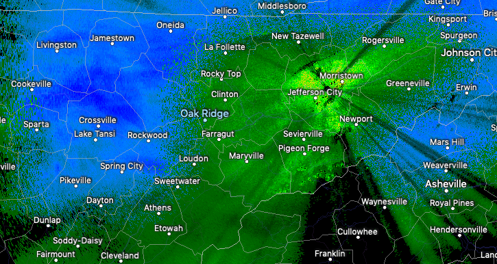
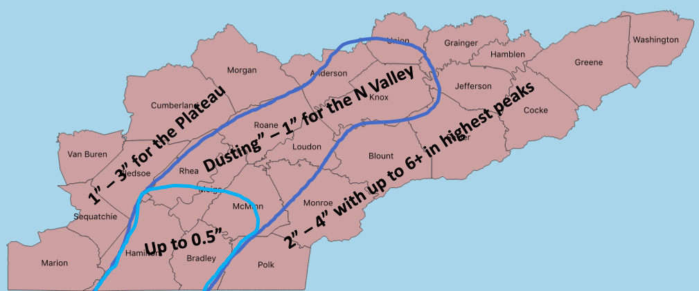
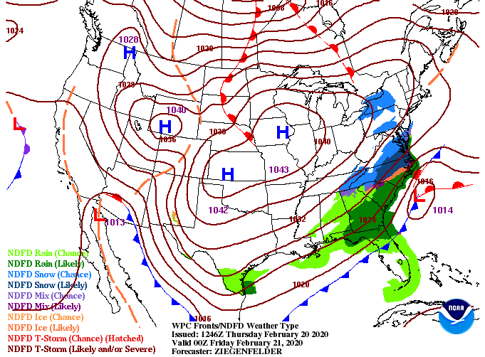
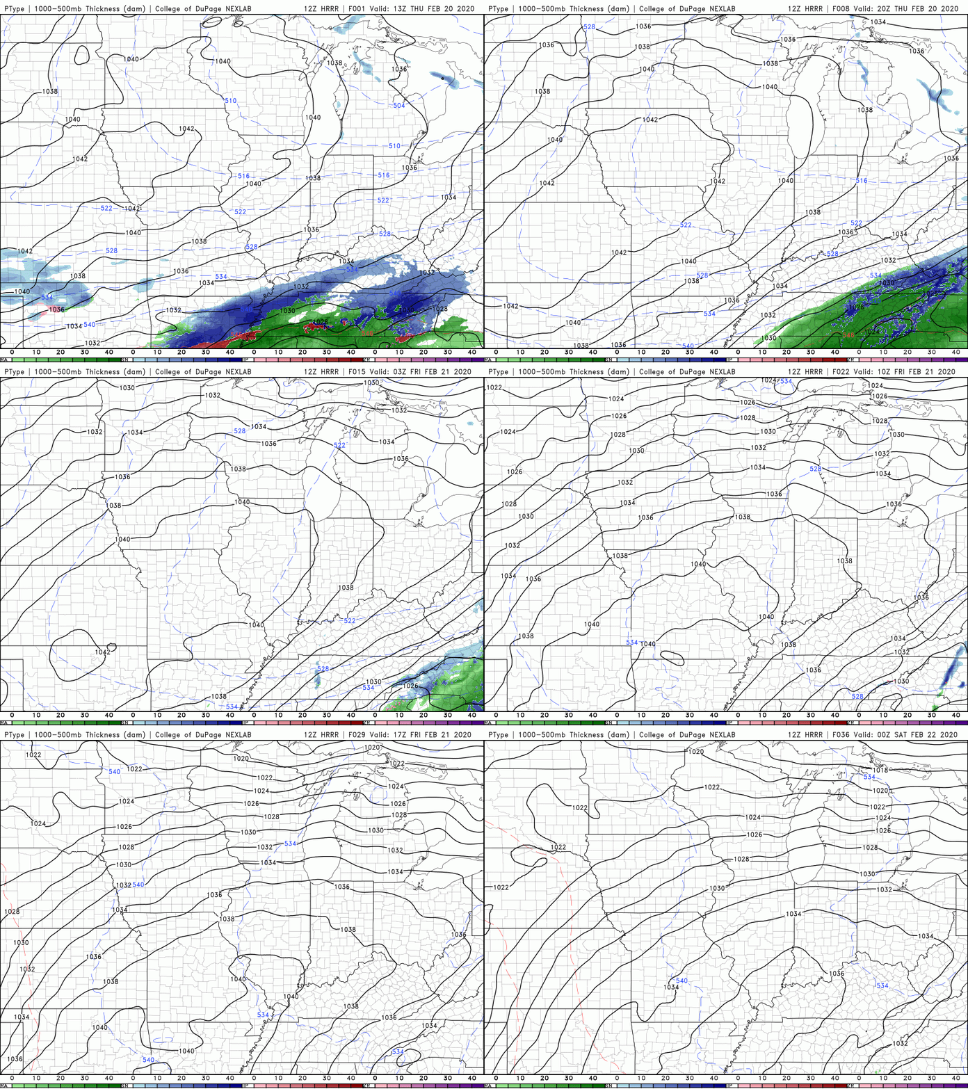
Rain has been the main story this morning for much of the valley with light accumulating snow in the Plateau and Smokies. Working into this afternoon, a surge of colder air is expected to arrive helping transition some of the rain showers to mix and light snow. Based on the latest observed temperatures versus model guidance suggested temperatures, we have dialed back accumulation outlooks for the Valley. Currently we are hanging around 37 degrees; a bit too warm for snow at the surface. Depending on when colder air surges in, we could see upwards of an inch in the valley or stay with more of a wintry mix this afternoon. As for the southern valley, rain will be the main story throughout the day but light snowfall this afternoon (with colder air) could provide a few tenths of an inch. For the remainder of the area, the forecast stays on track with 1-3" for the Plateau and 2-4" for the Foothills and Smokies. Pushing into this evening, remnant wintry mix and snow showers continues to slide east. A high pressure system will work in from the north, clearing things out for Friday. Sunny skies will stick around Friday and into the weekend with temperatures gradually warming each day. Looking at the latest short-term model guidance, we see that surge of colder air arrive by late morning to early afternoon. Depending on how cold this air actually gets will depend on the precipitation type we receive. As of the current observed data, I am leaning toward mostly rain to mixing but snow is still possible (especially the northern valley). It is important to note the impacts from this system will be minimal with any accumulation staying primarily to grassy and elevated surfaces. Let us know on social media what you are seeing throughout today and we'll continue to keep you updated on the latest!
0 Comments
Leave a Reply. |
Your trusted source for everything weather in East Tennessee.
Social Media
|


