|
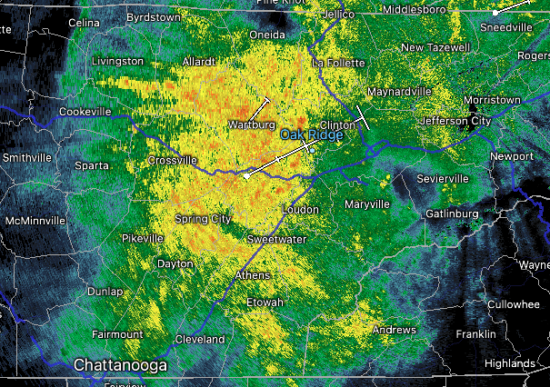
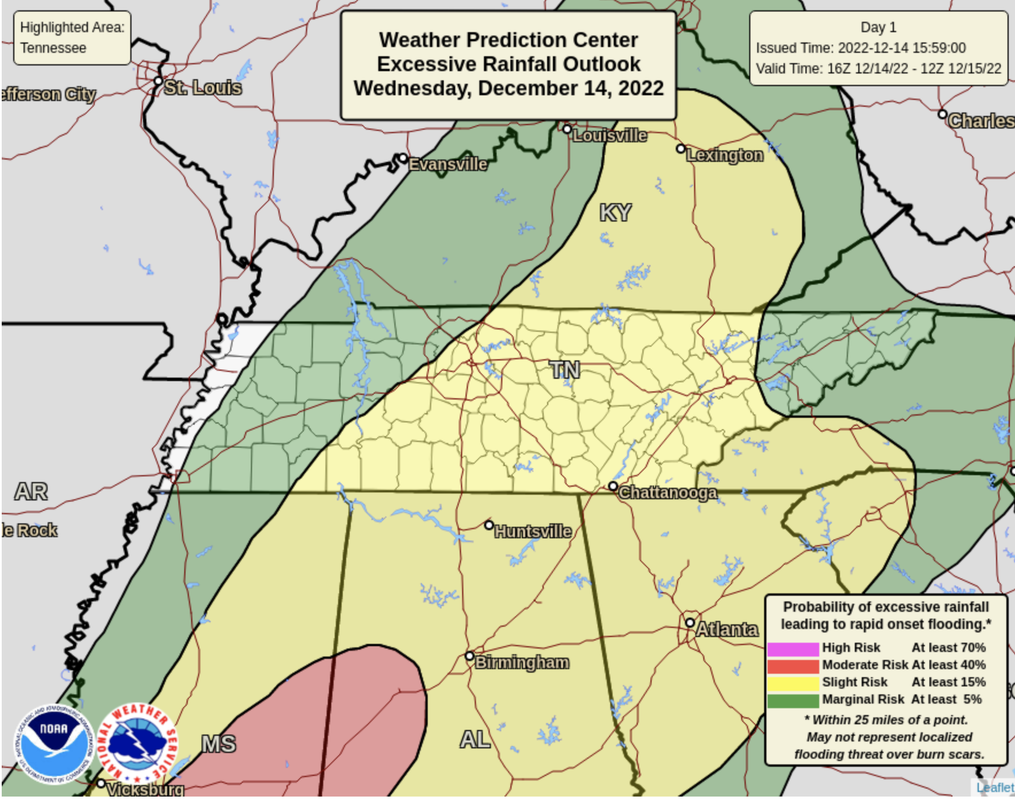
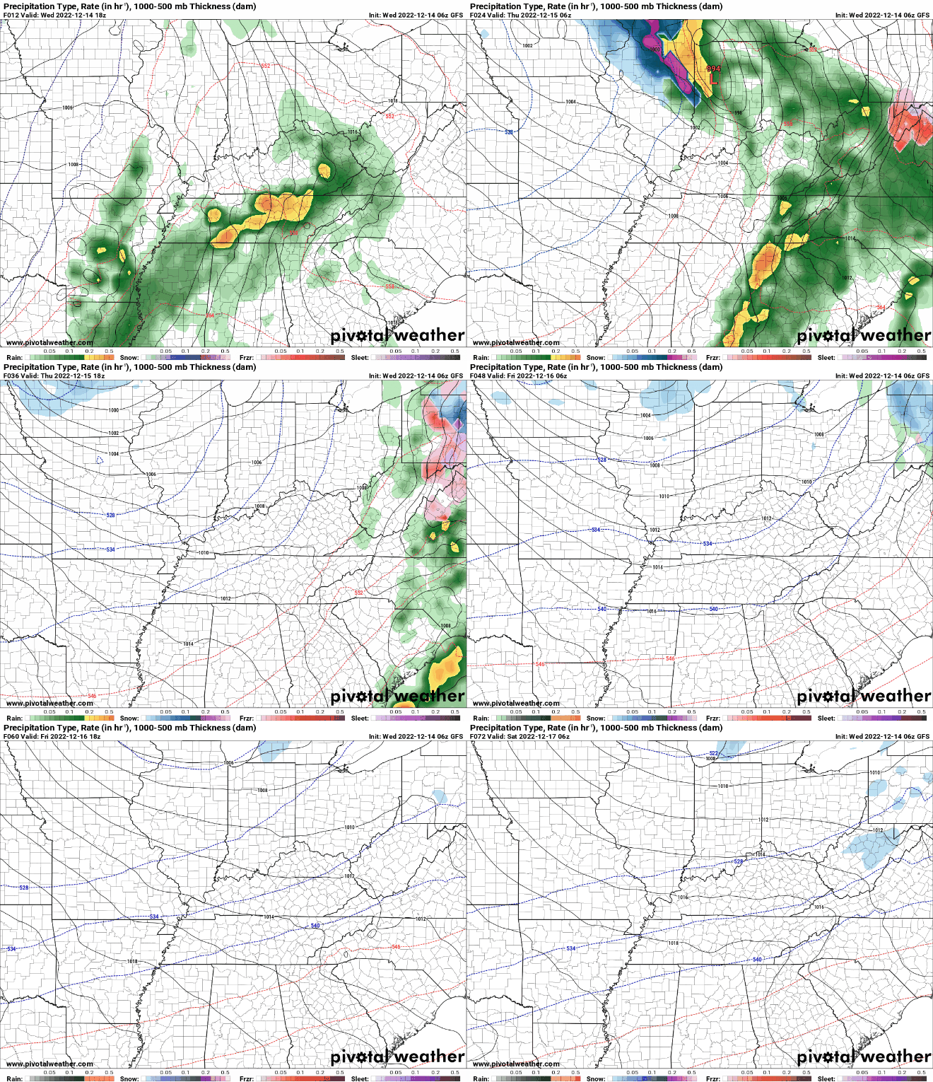
A soggy and cool rain, just what you ordered up, right? Probably not! Nonetheless, showers and embedded storms will continue through much of the remainder of the day and into tonight. A cold front and strong area of low pressure sit just to our west and is the reason for driving all of this activity. Highs today for most will warm to the low 50s, where lows tonight only fall into the mid and upper 40s. Looking at the outlook today, a Slight Risk of flash flooding remains in place. With rainfall amounts around an inch already (as of 1 pm), another 1 to 2 inches could cause some isolated concerns this evening/tonight. Winds are also gusty in the highest of elevations, with a high wind warning in place across the Smokies. Elsewhere, ridges and the plateau are gusting up to 30 mph, while most valley locations aren't too impressive. The general play-by-play is of showers continuing tonight. As the cold front breaks east, a last push of moderate to heavy showers, and a few embedded storms, will cross the Volunteer State late this evening and overnight. Most activity should begin diminishing early Thursday morning, where drier and much cooler conditions filter in. The plateau and western valley will begin drying first, followed eastward through the morning to early afternoon. Clearing will also come with that, where most find partly cloudy skies by the late afternoon tomorrow. Lastly, temperatures will be the warmest during the morning (low 50s), followed by cooling temperatures the remainder of the day. From Friday through the weekend, we generally remain dry and cold with highs in the lower 40s. Though we haven't had any issues so far, more rain will find the area through tonight. This could lead to isolated instances of flash flooding, so have a way to receive warnings and know what to do if one is issued. Drier and much cooler conditions should follow the second half of the day tomorrow and continue into the foreseeable future.
0 Comments
Leave a Reply. |
Your trusted source for everything weather in East Tennessee.
Social Media
|


