|
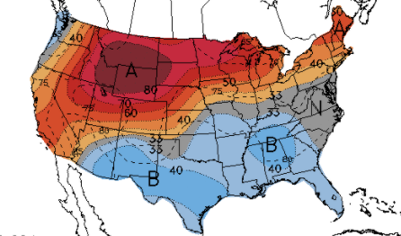
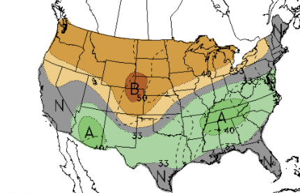
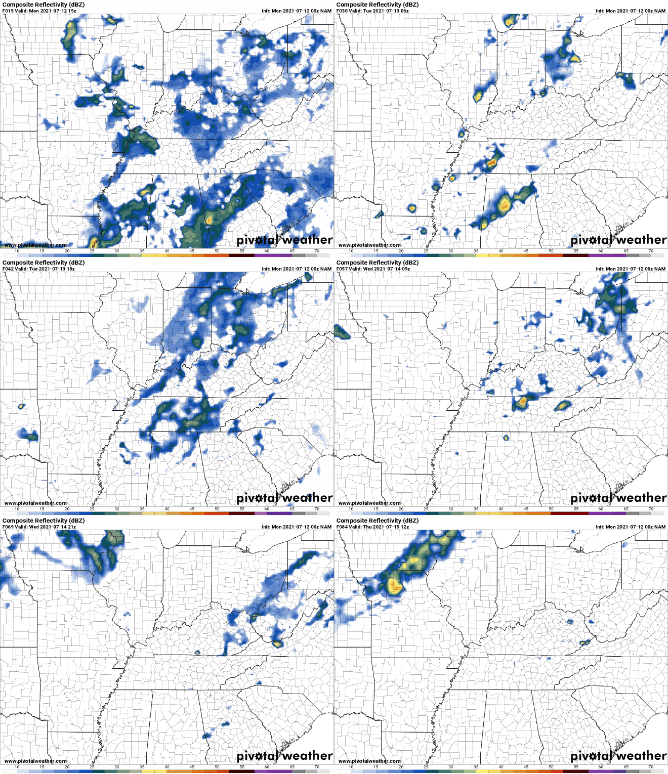
Good morning! After a fairly soggy weekend, we will continue to see similar conditions early into this week. A VERY slow moving front lies just to the west and will eventually push through by Wednesday. This will bring a needed end to the daily showers & storms we have seen. Unfortunately, it won't last too long as more activity is on the way for this coming weekend. Looking ahead at the CPC's outlook from July 17 to the 21st, below average temperatures along with above average precipitation are expected. As for today, more rounds of afternoon showers/storms are possible with highs in the mid to upper 80s. Taking a look here at model guidance, showers and storms will continue to develop during the afternoon and early evening. These will fade each night with the lack of heating and instability. Once the front moves through Wednesday, drier conditions are in store for Thursday before a cold front dives in from Canada bringing renewed activity and cooler air. Don't forget your umbrellas...though there is little on radar now, activity is expected to fire up this afternoon. Not all will see rain/storms, but it is better to be safe than sorry. We will look to see bettering conditions, temporarily, once the front passes Wednesday. Pre-recorded for 5pm show
0 Comments
Leave a Reply. |
Your trusted source for everything weather in East Tennessee.
Social Media
|


