|
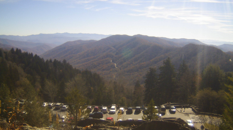
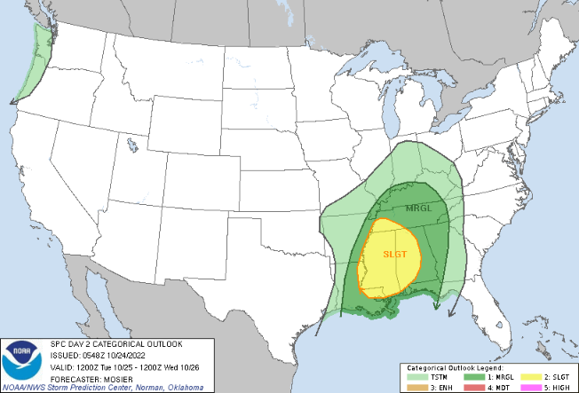
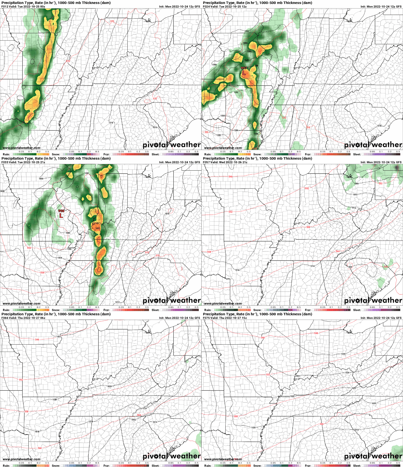
Another nice day, and nice start, to the work week! Checking out the latest view from the Newfound Gap webcam, mostly sunny skies are present, with temperatures varying in the mid 60s to low 70s. Moving forward, cloud cover will gradually increase from the west this evening/overnight, leading to cloudy skies for most on Tuesday. The increasing cloud cover will all be associated with a potent low pressure system and cold front, sliding eastward. There is a low end risk of severe weather with this system, but given the timing of the day, confidence is not high. With that said, SPC has a Marginal risk of damaging wind gusts in place, with the best potential for any strong storms across the Plateau Tuesday evening. Most of us stay dry through the day tomorrow, with showers and a few storms arrive through the evening (from west to east) and through the overnight hours. Most showers should be out by Wednesday morning, though a few lingering light showers are possible in the far east. As you can see below, the system really weakens as it moves eastward late Tuesday. This is because of many factors, but the loss of instability (or usable energy) can be most contributed. Cloud cover will decrease through Wednesday, setting up more sunny days Thursday and Friday. The main story has been the dry conditions in the recent weeks, but things look to take a turn. Much needed rainfall looks more common, with system number one late tomorrow, and additional rain potential later this weekend and into early next week. Pre-recorded for 5pm weather broadcast
0 Comments
Leave a Reply. |
Your trusted source for everything weather in East Tennessee.
Social Media
|


