|
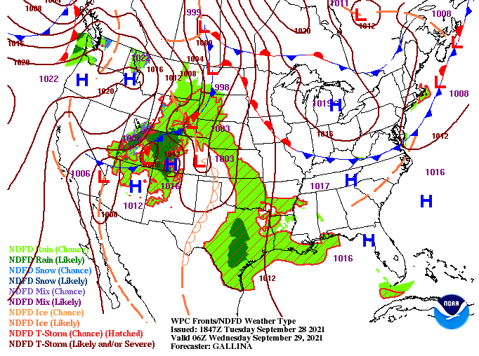
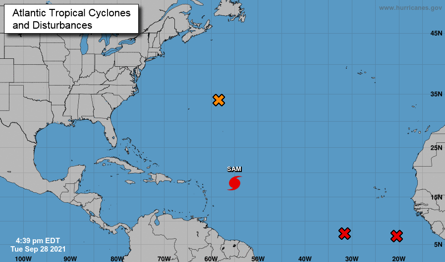
A weak cold front is slowly making its way southward and won't pass through until tomorrow. This will nudge temperatures down a degree or two Friday, but with the dry air associated with it, no real weather can be expected. High pressure also remains in place for the next couple of days, before breaking down into the weekend. A series of upper level disturbances will bring increased rain/storm potential Saturday and Sunday. This will be followed by a low pressure system and cold front that will arrive early to mid next week. The Tropicals remain active as Hurricane Sam is expected to become a major hurricane and work north and east. The good news is this system is expected to go just east of Bermuda, but not without bringing rainfall and surges to the island. Additional disturbances can be seen throughout the Atlantic, with development likely over the next 24 to 48 hours. We will keep a close eye on any new development and where it could lead in the days ahead. Temperatures will continue to stay warm with sunny to partly sunny skies expected now and through Friday. Showers (isolated) then make a return Saturday, becoming more widespread late in the weekend and into early next week. Pre-recorded for 5pm show
0 Comments
Leave a Reply. |
Your trusted source for everything weather in East Tennessee.
Social Media
|


