|
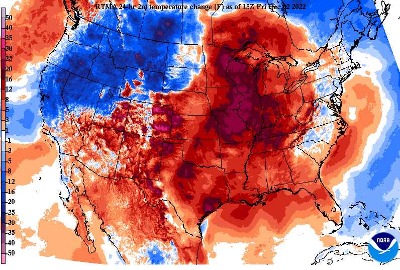
Definitely a bit warmer out there than compared to this time yesterday, and that can be thanked due to high pressure moving off the coast. This has allowed for temperatures in the upper 40s and low 50s (noon) where highs find the mid 50s before the end of the day. Additionally, moisture is increasing across the area. Most should stay dry through this afternoon, but a few sprinkles can't be ruled out at times. Looking at model guidance, our active streak of weather remains in tact. First up, a sliding cold front will bring widespread showers to the area overnight and early into Saturday. Most of the activity will hold off until late afternoon and evening, before showers pick up from west to east and continue through the night. Rainfall amounts will vary, with generally between a tenth to three tenths expected. Drier conditions then follow for the later half of Saturday, through Sunday, and a good chunk of Monday. Another longer lasting rain event then finds the area Monday night through mid week. We are still eyeing the flood potential but the axis of more consistent rain looks to have shifted a little further west. Nonetheless, something that could pose concern and something we will keep you updated on moving forward. Another opportunity will find us a week out (next Thursday to early weekend). Again, something that could pose concern given the series of rainy systems leading up to it. Don't forget to check out our video forecast below for more information. Other than lingering cloud cover, most should veer on the dry side through much of the weekend. For those who are photogenic, don't forget to share your outdoor/ weather related pictures with us within the "Submissions" tab under the "News and More". Pre-recorded for 5pm weather broadcast
0 Comments
Leave a Reply. |
Your trusted source for everything weather in East Tennessee.
Social Media
|


