|
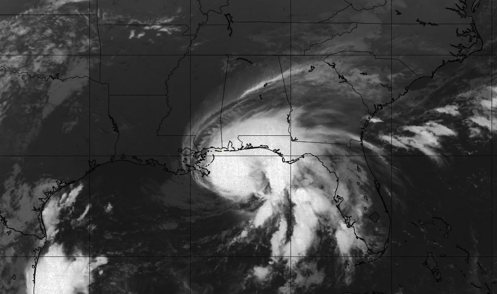
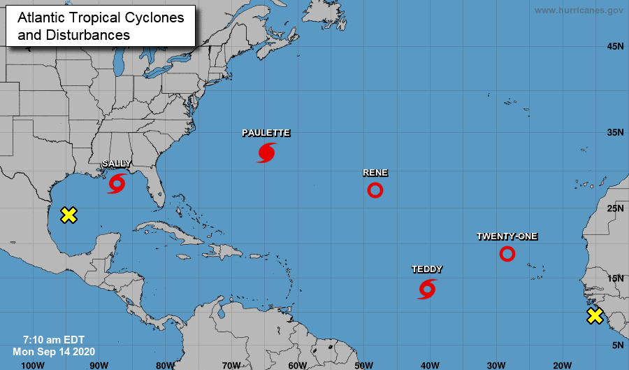
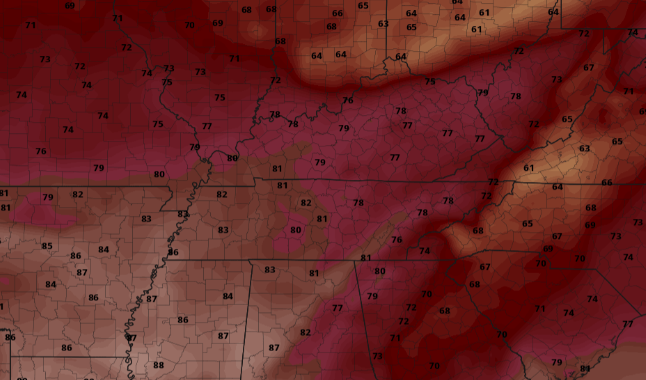
The latest satellite shot shows Sally just off of coast, expected to make landfall near the Louisiana/Mississippi border. This hurricane was a category 2 yesterday afternoon but now has decreased to a category 1 (sustained winds of 85 mph). She will make landfall this afternoon before working north and east in the days ahead. It is almost mind blowing to see the amount of activity in the Atlantic this week. In fact, there is only one more name on the list for the National Hurricane Center (Wilfred) before the Greek alphabet is used. Twenty-one, now Vicky, will work west before dissipating with time. Teddy will continue westward as well, giving the chance to make impacts to Bermuda later in the week. Keep in mind this is peak hurricane season and the official end doesn't come until the end of November (2.5 months). As Sally impacts the southeast, temperatures will stay cool through the end of the work week and the weekend. High's will be below average in the mid to upper 70's. Shower activity will be possible (mainly) Thursday and Friday with sunny skies returning for most of the weekend. If you don't have any plans yet, it would be good to make some! Sunny skies and high's in the 70's should dominate much of Saturday and all of Sunday. For more details on the path of Sally and how this could impact Tennessee, watch the daily video forecast below. That will wrap it up today though, hang in there as better conditions find us late Friday and into the weekend.
0 Comments
Leave a Reply. |
Your trusted source for everything weather in East Tennessee.
Social Media
|


