|
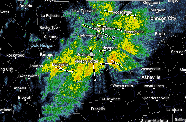
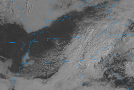
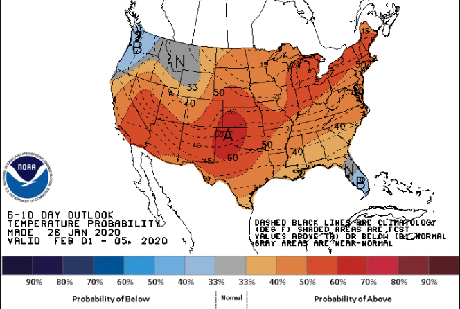
Showers have continued to push east and are sitting in the eastern half of the valley and into the higher elevations. With this being the last of the showers for the day, drier air will work in this evening. Looking at the latest satellite, clearing is beginning to take place for western and middle TN. We will more than likely see some peaks of sunshine this afternoon with more opportunity tomorrow. As for temperatures this week, expect to stay average with high's in the upper 40's each day. Comparing model guidance to the current satellite, we do see clearing continue from west to east. Much needed sunshine will make a few appearances this afternoon with high's near 50. Tuesday will be mostly dry with partly cloudy skies but shower chances return Wednesday. Earlier models had this system staying more to the south but the latest data has this track further north. Regardless, scattered showers are likely Wednesday, with snow showers possible in the higher elevations overnight. The latest from the CPC shows next week (the first week of February) to likely be a bit warmer than average. We'll likely see temperatures in the 50's much of next week. Another round of cooler air is favorable as we get into mid-February but snow chances remain grim here in the valley. All and all, it looks to be a fairly average this week with rain chances every other day and temperatures in the upper 40's. Be sure, if you haven't already, to subscribe to this year's almanac at SecretCityWeather.com/almanac
0 Comments
Leave a Reply. |
Your trusted source for everything weather in East Tennessee.
Social Media
|


