|
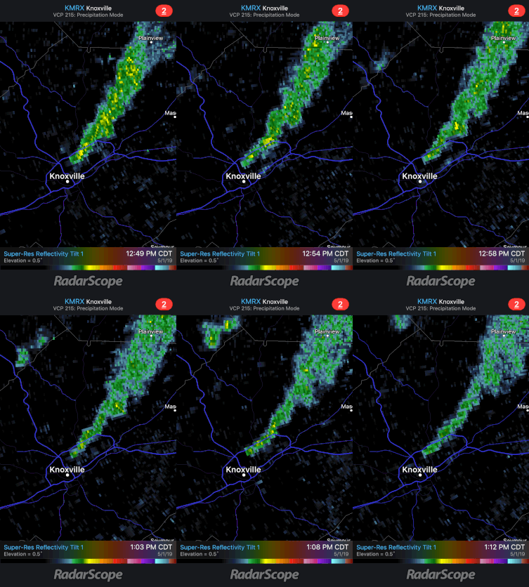
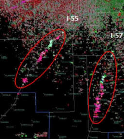
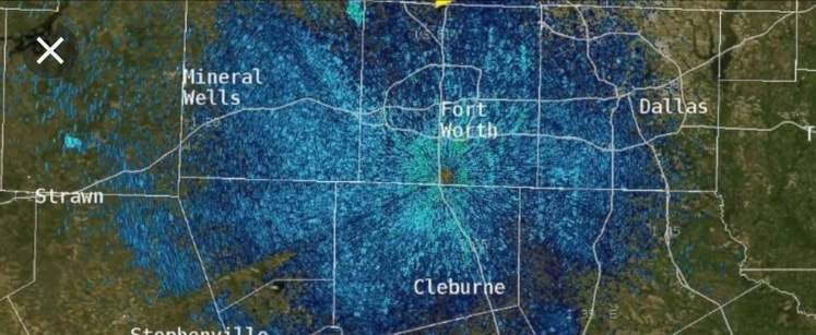
Good evening! An interesting phenomena occured today in Knoxville. Shown below is a few radar scans showing what you may think is rain BUT is actually smoke. A large fire occurred today in north Knoxville at a recycling plant and these smoke particles were reflected back to the radar beam. Seen below is the dense smoke associated with the fire today. This isn't the first time radar has picked up some quirky things other than precipitation. Other than the smoke (seen above), radar tends to pick up other things too. Seen below (from left to right), are examples of radar picking up dense traffic on interstate 55 and 57 to our south. The right image depicts a large amount of birds during their yearly migration. Now Getting Into The Weather...It has been a warm, summer-like week thus far with high's in the mid to upper 80's. Luckily, temperatures will be back in the 70's into this weekend. As for tonight and into tomorrow, scattered showers and thunderstorms are possible. Currently, there are some heavier thunderstorms in Loudon and Sweetwater moving northeast. Along with these storms is the chance of 1/2 inch hail and winds gusts of 45+ mph. Overall, we will stay mostly cloudy tonight and tomorrow with those scattered showers possible as I mentioned above. Below shows a modeled radar of rain showers from now until Sunday morning around 1am. Obviously, this is not exactly what will happen, but it paints the picture that scattered showers are likely over the next few days with the heaviest showers arriving Saturday and Saturday night. The severe potential looks low, but we cannot rule out the chance of some heavier storms over the next few days (especially Saturday). Sunday showers will end early leaving clouds to decrease as we move through the day. Next week we will start the week pretty with sunny skies and high's back in the 80's. Don't forget the umbrellas the next few days as you could encounter some pop-up showers and storms. The entire system should be moved out by Sunday morning, leaving this day your most productive outdoor day this weekend. SIDE NOTE: we have added Facebook as one of our platforms of releasing weather information in east TN. I know many do not have Twitter, so we have expanded to include Facebook. We are excited about what is to come, so help us by sharing and liking our new page shown at the link here: As always, we will keep you updated on any changes that may occur in the weather world here, Twitter (@SecretCityWX), and on our Facebook Page. For all our platforms, check out our "Contact" tab (located at the top of our site).
0 Comments
Leave a Reply. |
Your trusted source for everything weather in East Tennessee.
Social Media
|


