|
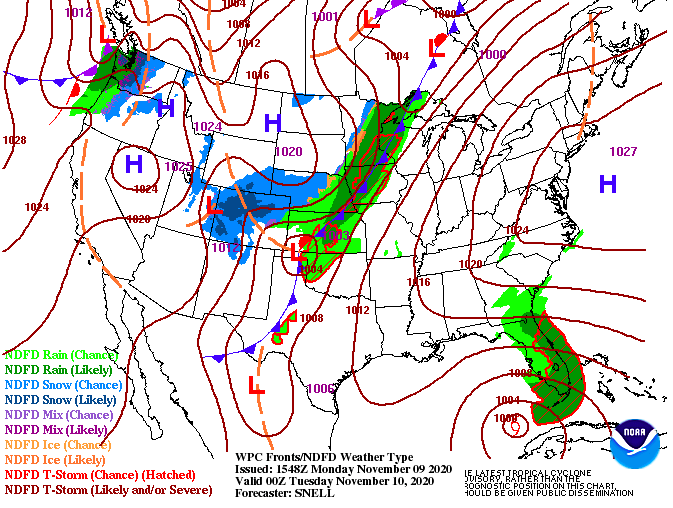
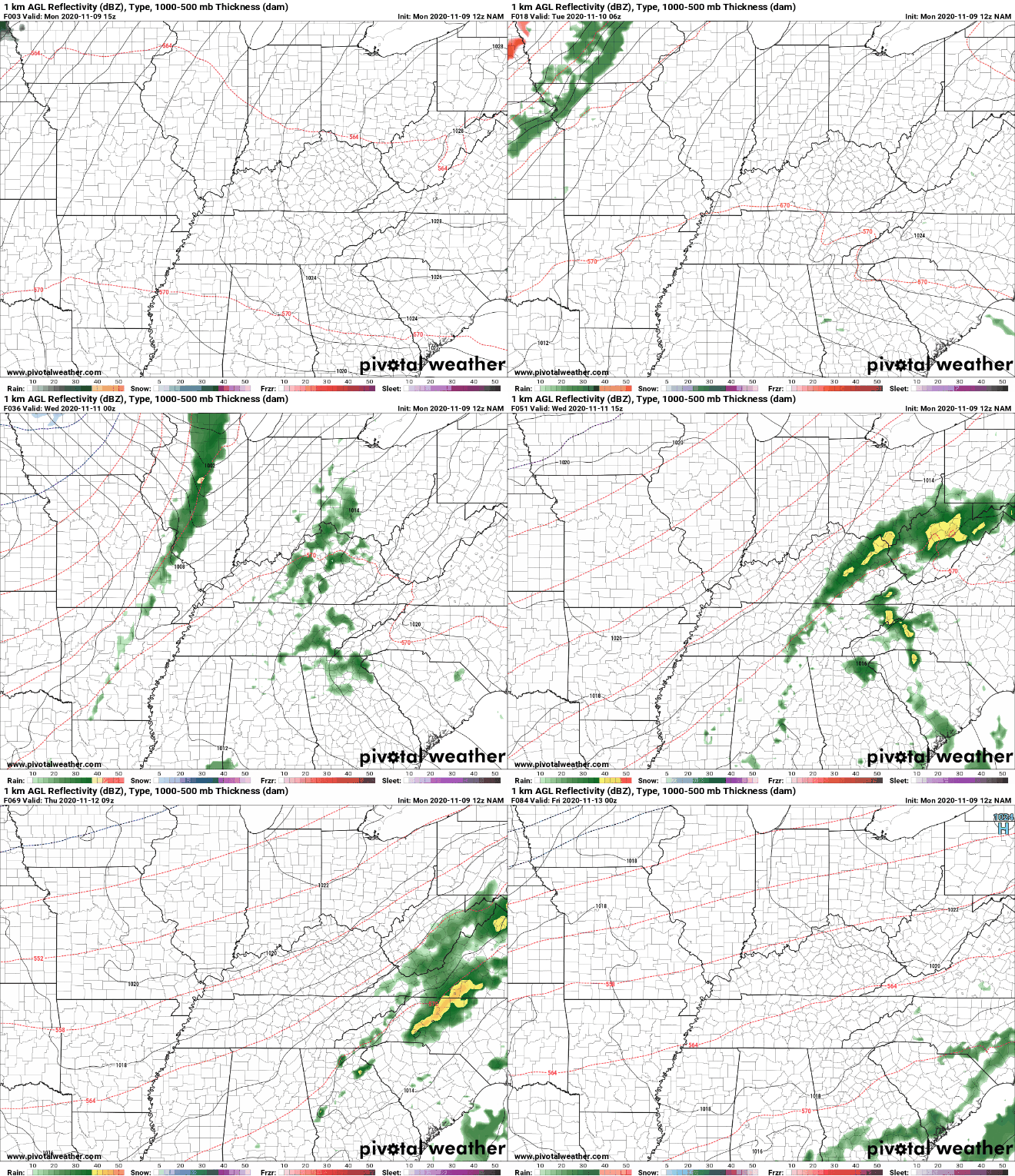
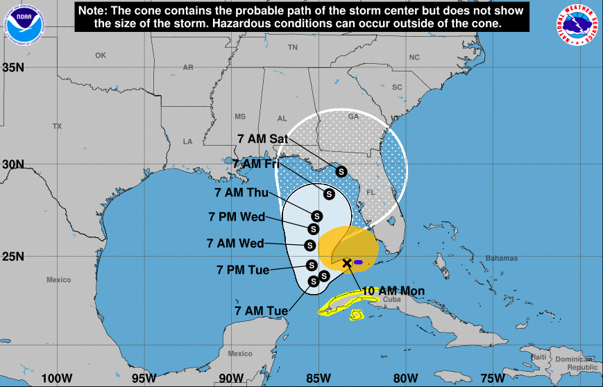
Things once again start off with warm temperatures and sunny skies. Changes are in store this week though, as some much needed rainfall arrives midweek. A low to the west is providing rainfall and even snow to parts of the Midwest today. This system will meander eastward, arriving tomorrow night and throughout Wednesday. Unfortunately, if you are a fan of cooler weather, you will have to wait some time. Temperatures will stick to the 70's much of the work week with mid to upper 60's arriving Friday and parts of the weekend. Taking a glance at model driven data midweek, scattered showers will begin settling in Tuesday night. Activity will be on and off throughout the day with heavier pockets of showers Wednesday night. Isolated to scattered showers continue into Thursday morning before a gradual clearing takes place the second half of the day. Sunshine will make a return along with slightly cooler temperatures Friday and most of Saturday. An update on the Tropics shows what's left of Eta working off the Florida coast and into the Gulf of Mexico. It is uncertain if this will restrengthen into a category 1 hurricane in the warmer Gulf waters, but time will tell. What is known is the likelihood for this storm to work back north and eventually east late in the week. With Eta making such a slow progression this week, I would not be surprised to see it strengthen some in the days ahead. Time will tell and we'll keep you updated on the latest. For now, kick back and relax. Enjoy the warm temperatures for this time of the year along with sunshine over head. Some showers will be in the mix midweek, otherwise things clear back out late Thursday and Friday. Have a great week!
0 Comments
Leave a Reply. |
Your trusted source for everything weather in East Tennessee.
Social Media
|


