|
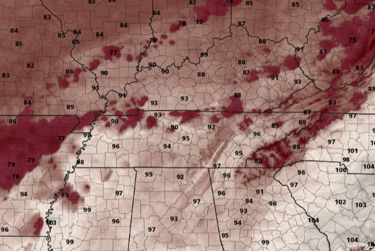
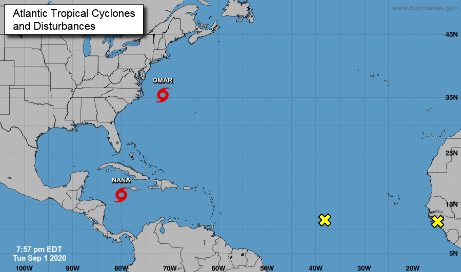
Before you head out the door this morning, be sure to have plenty of fluids on hand! Though high's are expected to top out near 90, heat indices will be a bit closer to the mid/upper 90's both today and tomorrow. September is hurricane seasons most active month and we see it is living up to that. A look at the Atlantic shows two activity tropical storms. Omar, currently located off the coast off North Carolina, is expected to head due east. Oppositely, Nana is expected to work westward, eventually making landfall in parts of Belize and Mexico. Two waves off the coast of Africa also have a chance to develop over the next several days, so we'll keep a close eye on intensification and path. Jumping back into today, shower activity again looks isolated. As we have seen, the bulk of activity will be to our west with limited shower potential across the valley. A better chance for showers/storms comes Thursday and into early Friday as a low sticks around to the south. This, combined with the clockwise rotation of a high in the Gulf, will result in scattered (but at times heavy) rainfall across east Tennessee. By late Friday, a cold front from Canada will move through providing a pleasant weekend and early next week. Things will continue being very warm and muggy the next couple of days, so keep your heat safety in mind. Showers should be limited today with a bit more widespread activity Thursday and parts of Friday. The good news is if you can make it through the end of the work week, Mother Nature will be providing us an early Fall-like feel for Labor Day weekend.
0 Comments
Leave a Reply. |
Your trusted source for everything weather in East Tennessee.
Social Media
|


