|
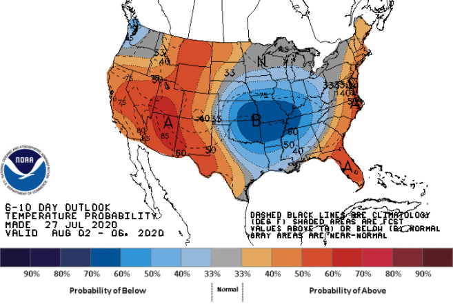
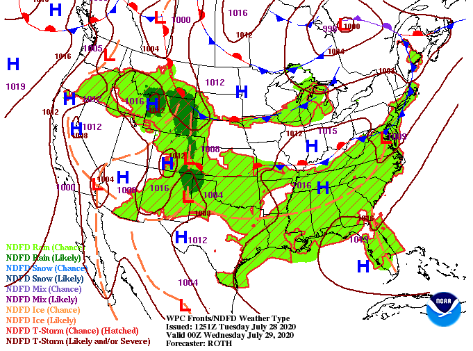
As we touched on last week, a cooling trend in temps is expected early next month. In fact, we will see a glimpse of that Thursday and Friday with high's topping out in the mid 80's. Muggy conditions will make it feel a bit warmer but we'll take something not in the 90's. The front to the west and north continues to slowly work in providing some of the showers we've seen this morning and will again see this afternoon. Showers will pop up tomorrow after lunch before widespread activity arrives Thursday and Friday. Just like we saw yesterday, today and Wednesday will contain scattered afternoon showers and storms. Severe potential remains low but heavy downpours, gusty winds, and frequent lightning are all possible through the next 36 hours. By Thursday and Friday, the front will arrive to the area bringing with it widespread rainfall and the chance for embedded thunderstorms. With drought conditions increasing throughout the state, this will definitely help combat the issue. Rainfall totals for east TN, now through Friday, will be anywhere from 0.5" to 1.5". Localized larger totals are possible within heavier cells. If you have plans for a beach trip this weekend or have family in Florida, let them know some of the potential impacts coming their way. Invest nine will continue gaining strength in the days ahead and will likely impact the US by the weekend. More details can be found on the daily forecast below and by checking out the National Hurricane Center's website.
0 Comments
Leave a Reply. |
Your trusted source for everything weather in East Tennessee.
Social Media
|


