|
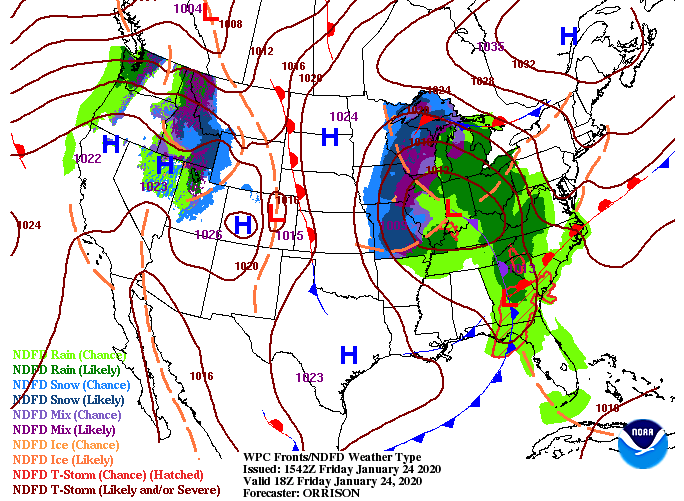
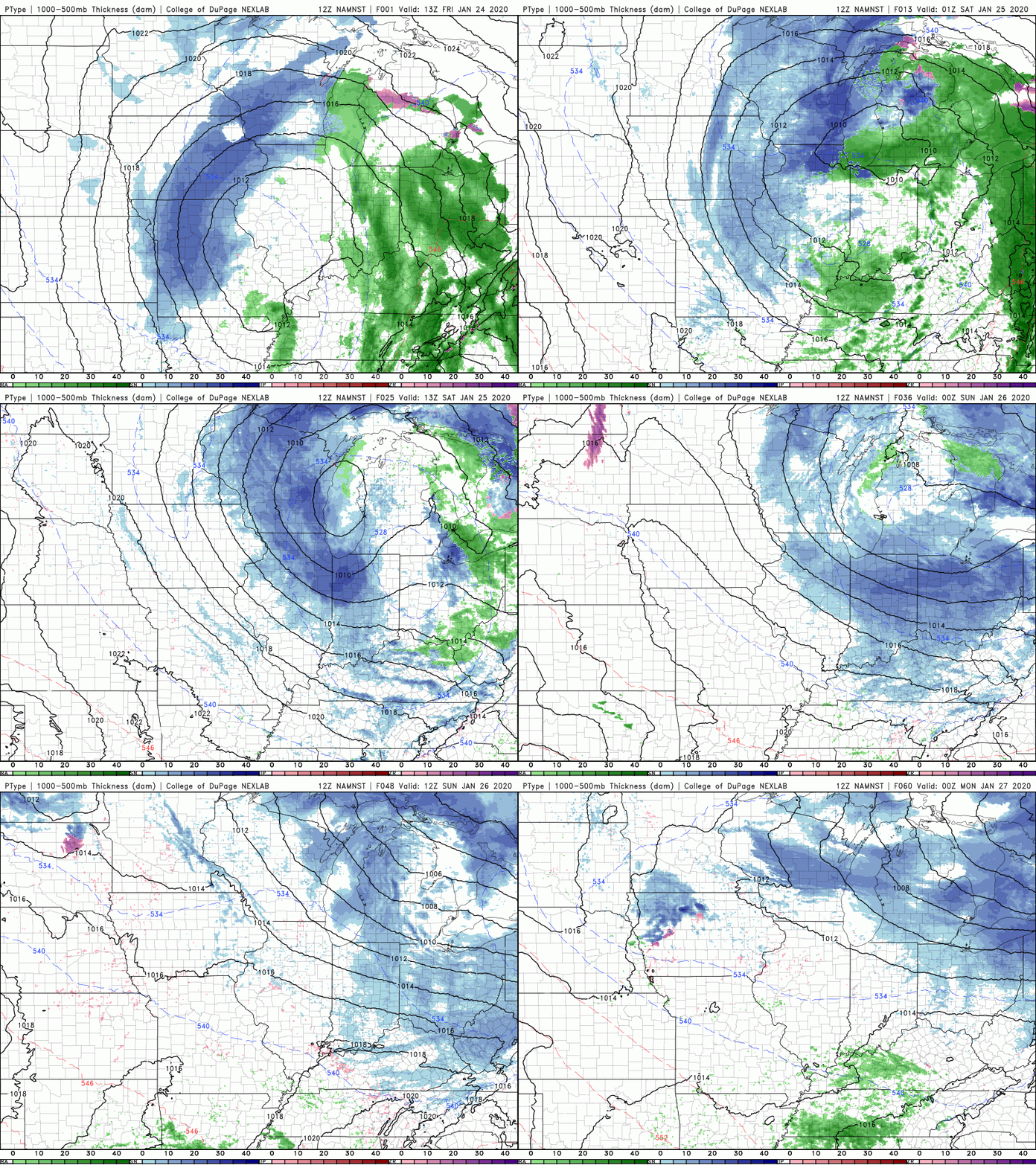
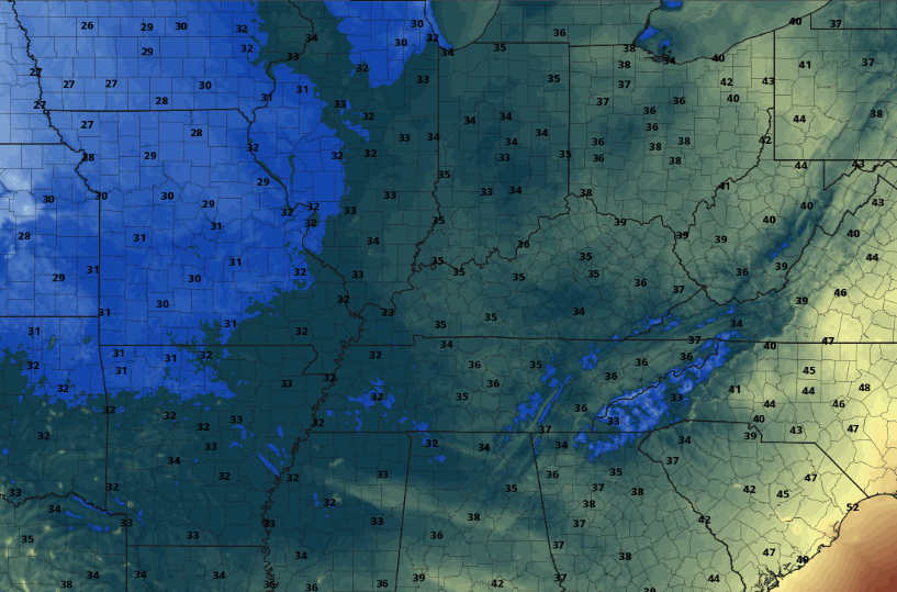
I hope you are staying dry out there! The good news is the last line of moderate to heavy showers is working through now, leaving only isolated chances this afternoon and evening. With the center point of the low pressure system so close, we will likely see wrap around moisture into Saturday morning. The moisture will likely be in the form of snow flurries but isolated showers are possible for the valley (depending on temperatures). We will begin drying Saturday afternoon and Sunday before another round of light scattered showers/flurries arrives Sunday night and Monday morning. By the afternoon, rain will have moved out leaving drier air and warmer temperatures mid-week. If you have any plans for Saturday, be sure to bundle up. We will start the morning in the mid 30's with afternoon high's only increasing into the lower 40's. Outside of isolated showers/snow flurries in the morning hours, expect a mostly dry and chilly day. That's all we have to cap off the work week, so I hope you have a wonderful weekend! Remember to subscribe to this year's FREE East Tennessee Almanac at SecretCityWeather.com/Almanac.
0 Comments
Leave a Reply. |
Your trusted source for everything weather in East Tennessee.
Social Media
|


