|
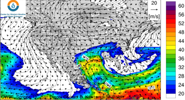
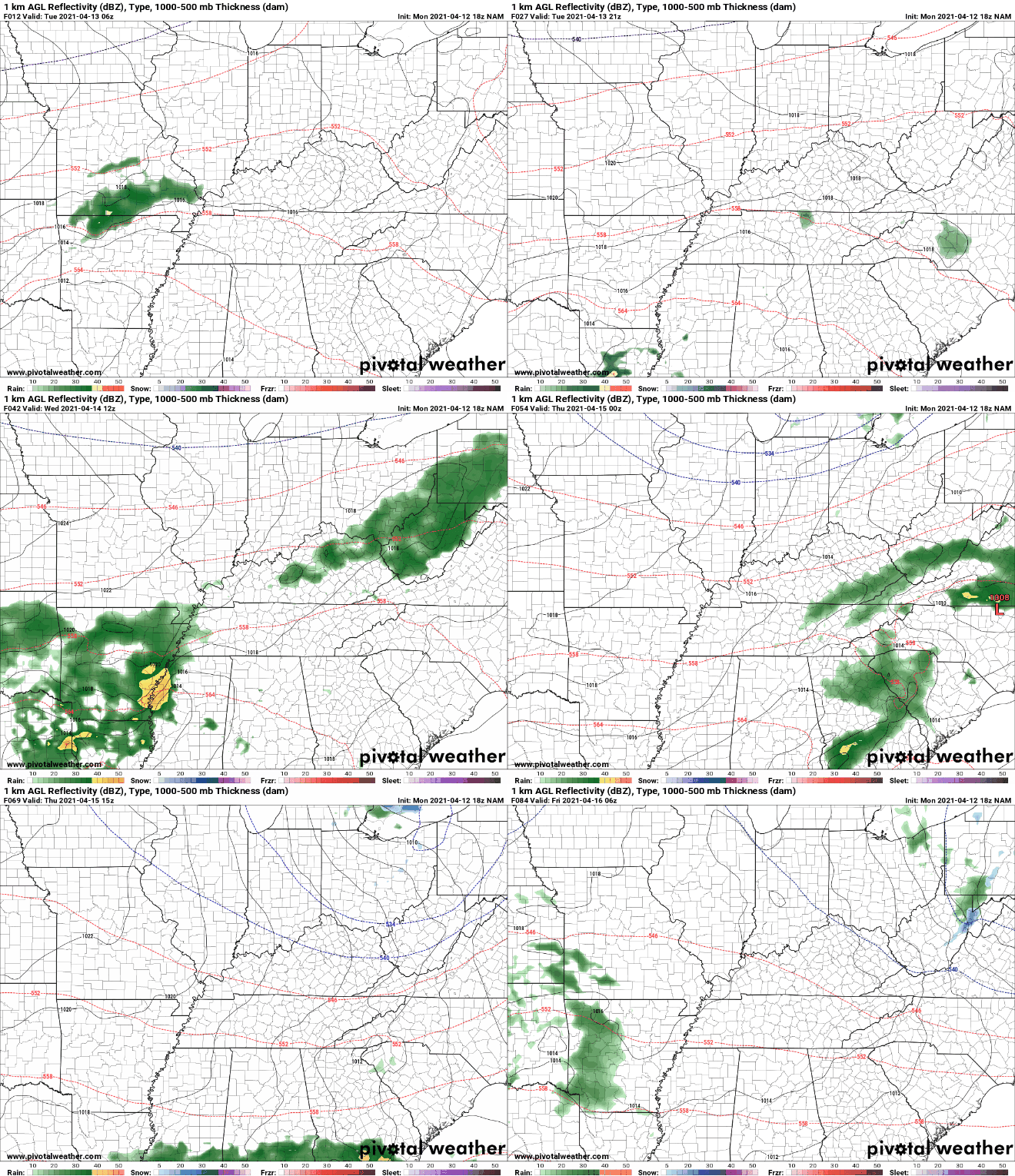
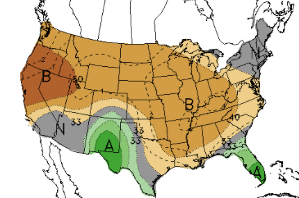
As our next system rounds in, moisture will pull in from the Gulf. There is a limited opportunity for showers bordering Kentucky this afternoon, while the remainder of us stay dry with increasing clouds. As we work overnight and into Wednesday, better rain chances arrive as the low works further east. Looking at model guidance, showers work north of the region tonight. By the overnight hours and into Wednesday, showers will begin pouring in from the west. Though this is a fairly weak system, we can still see upwards of half an inch of rain. Some locations where repeated showers work through could see upwards of an inch. Either way, this will be a fairly quick hitting system with minimal impacts. Lightning and thunder may be possible, but instability looks pretty weak and no severe weather is expected. Progressing forward, clearer skies arrive Thursday and Friday before another dose of rainfall is in for the weekend. Longer term, the later half of April is trending dry. Not only for the eastern half of the US but as a nation. We will continue to keep a close eye on how this may impact drought conditions moving forward, but for now we have had plenty of rainfall across the state. A round of showers is in for Wednesday as the low drifts a bit further north than previously forecast. Overall rainfall accumulations look pretty minimal, with "training" showers & few storms bringing higher-end totals near an inch. Pre-recorded for 5pm
0 Comments
Leave a Reply. |
Your trusted source for everything weather in East Tennessee.
Social Media
|


