|
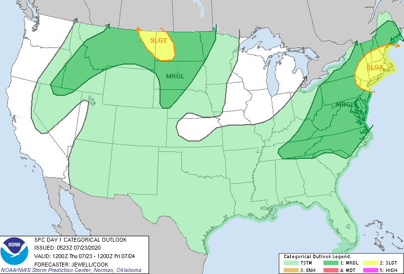
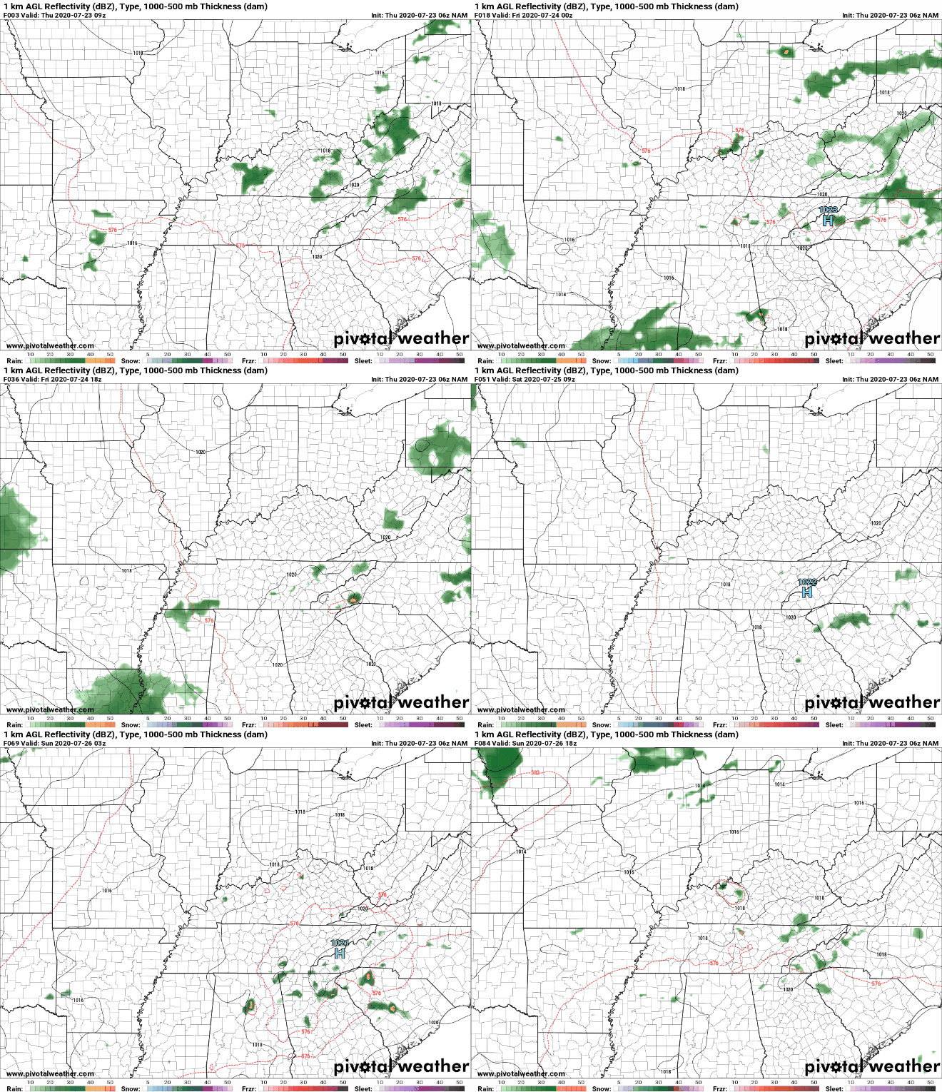
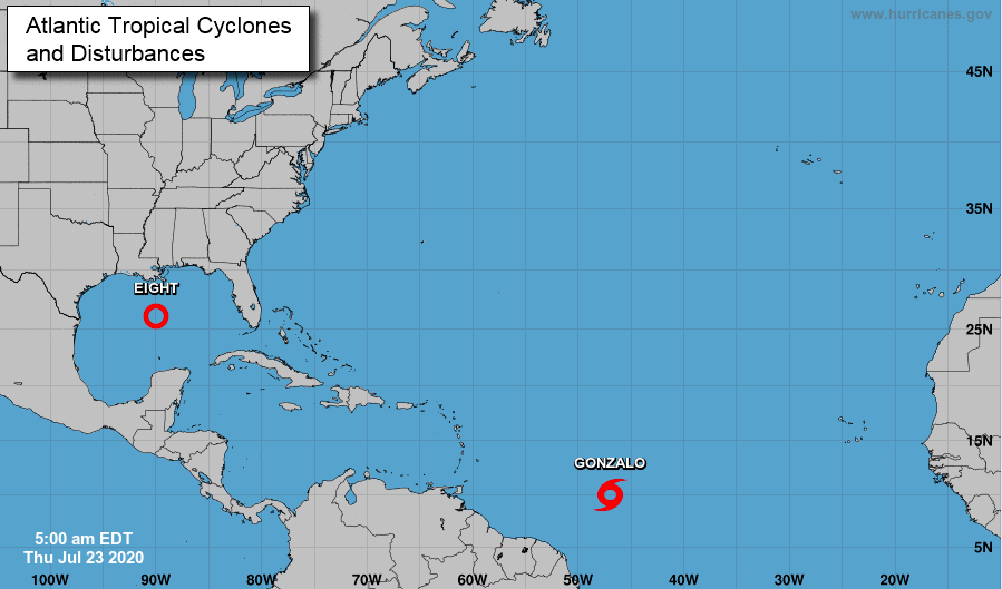
Getting back on track today, east Tennessee remains under a Marginal risk for severe storms. Development will begin early this afternoon, allowing for scattered storms through the afternoon and into the evening hours. Some could be strong to severe so check in for updates the later half of the day. As for temperatures, we'll see some cooler high's (in the upper 80's & lower 90's) but heat indices remain in the mid to upper 90's. Showers will likely begin developing early this afternoon to the west and work eastward through the day. The bulk of activity will arrive in the mid to later part of the afternoon, so be careful on the home commute. Heavy downpours, lightning, and gusty winds are all possible. In addition, the severe threat is low but not out of question. A significant development of these two systems has been made in the past 24 hours. Gonzalo is currently a tropical storm but is expected to strengthen into a hurricane by Friday. The path for Gonzalo will continue to be westward, likely falling between South American and the Caribbean. For the Gulf, tropical depression Eight has formed. This system will likely intensify into a tropical storm by the weekend, eventually making landfall in southern Texas sometime Saturday. After a brief pause in the Atlantic earlier in the month, things look to be right back to normal. With a better chance for widespread shower/storm activity this afternoon, have a way to receive alerts. This weekend we will dry back out, warm back up, and continue to see your typical afternoon pop up showers/storms.
0 Comments
Leave a Reply. |
Your trusted source for everything weather in East Tennessee.
Social Media
|


