|
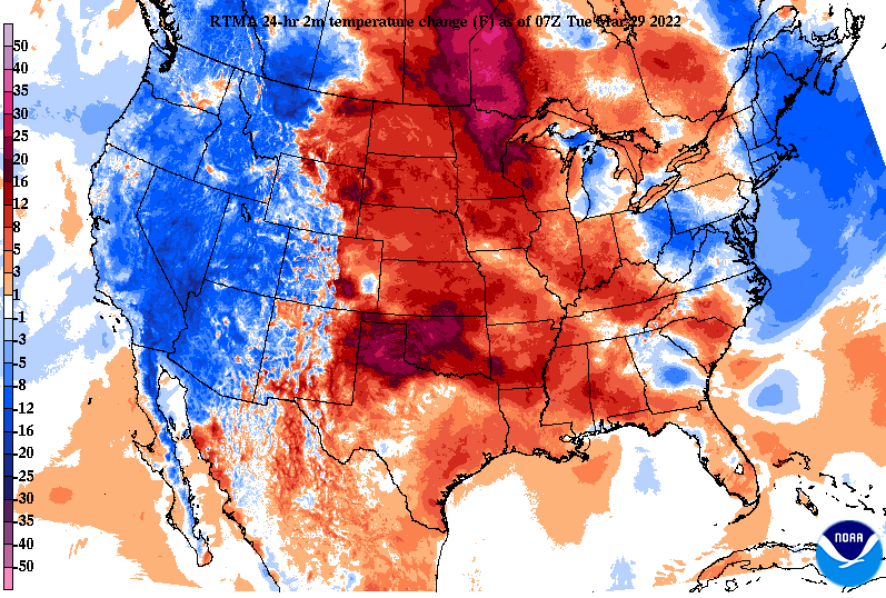
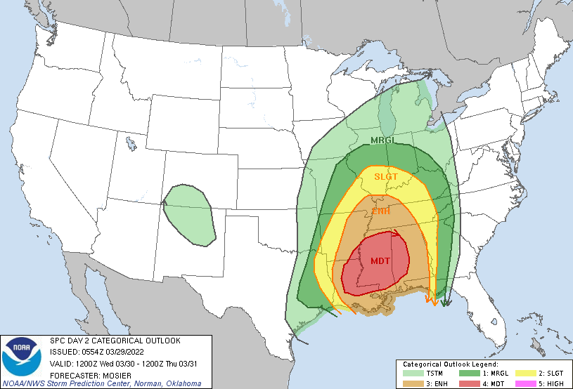
Temperatures will continue to warm today as cloud cover sticks around through the afternoon. Winds will be light as well, blowing out of the northeast/east less than 10 mph. Moving forward, winds will pick up, with gusts tomorrow as high as 40 mph. Highs today to be in the low to mid 60s with highs tomorrow in the mid to upper 70s. As guidance comes into better agreement on how the environment will handle this next system, a high confidence in severe weather is expected across the Lower Mississippi Valley. A Moderate (4/5) risk is in place tomorrow, with a slight to marginal risk across East Tennessee. Given the strong low level winds pumping in moisture, high temps, and lots of shear, we will see the threat of strong to severe storms tomorrow night and into early Thursday. The biggest threat will be well to our south and west but we can't ruled out a few storms across the area. With that said, the biggest threat will be damaging winds, but an isolated tornado within the line of convection can't be ruled out. Looking at a run-through, guidance depicts a line of showers and storms working eastward the later half of the day tomorrow. This will be aligned along a cold front, where warm moist air sits on one side and cold drier air on the other. Even with lower energy (instability) associated with the system, winds will be high allowing for instances of straight line winds, isolated spin-up, and purely gusty conditions altogether. Secure any loose outdoor items you may be, have a way to receive alerts if watches/warnings are issued, and know what to do if a warning is over your area. The threat for severe weather is low, with the primary threat locations the Southern Valley and the Plateau. Continue to tune back in for updates regarding this system. For those living (or who you may know) west of us, let them know of the higher confidence in severe weather. For now, enjoy the warming temperatures and be sure to check back in with us tomorrow. Showers and storms shouldn't arrive until the late afternoon/evening tomorrow, with strong to severe thunderstorm potential overnight and into early Thursday morning.
0 Comments
Leave a Reply. |
Your trusted source for everything weather in East Tennessee.
Social Media
|


