|
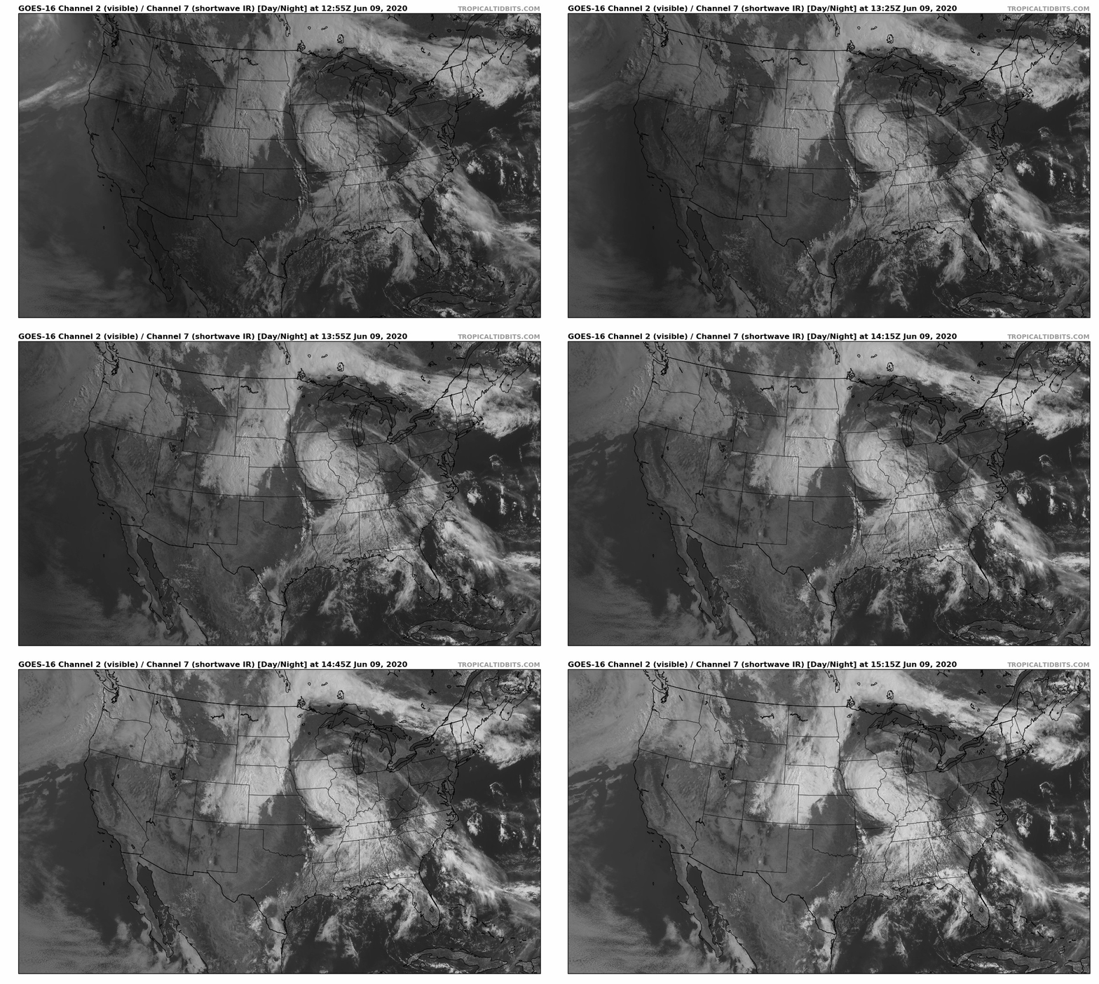
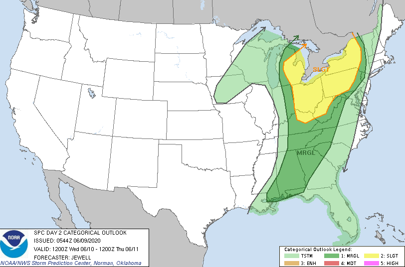
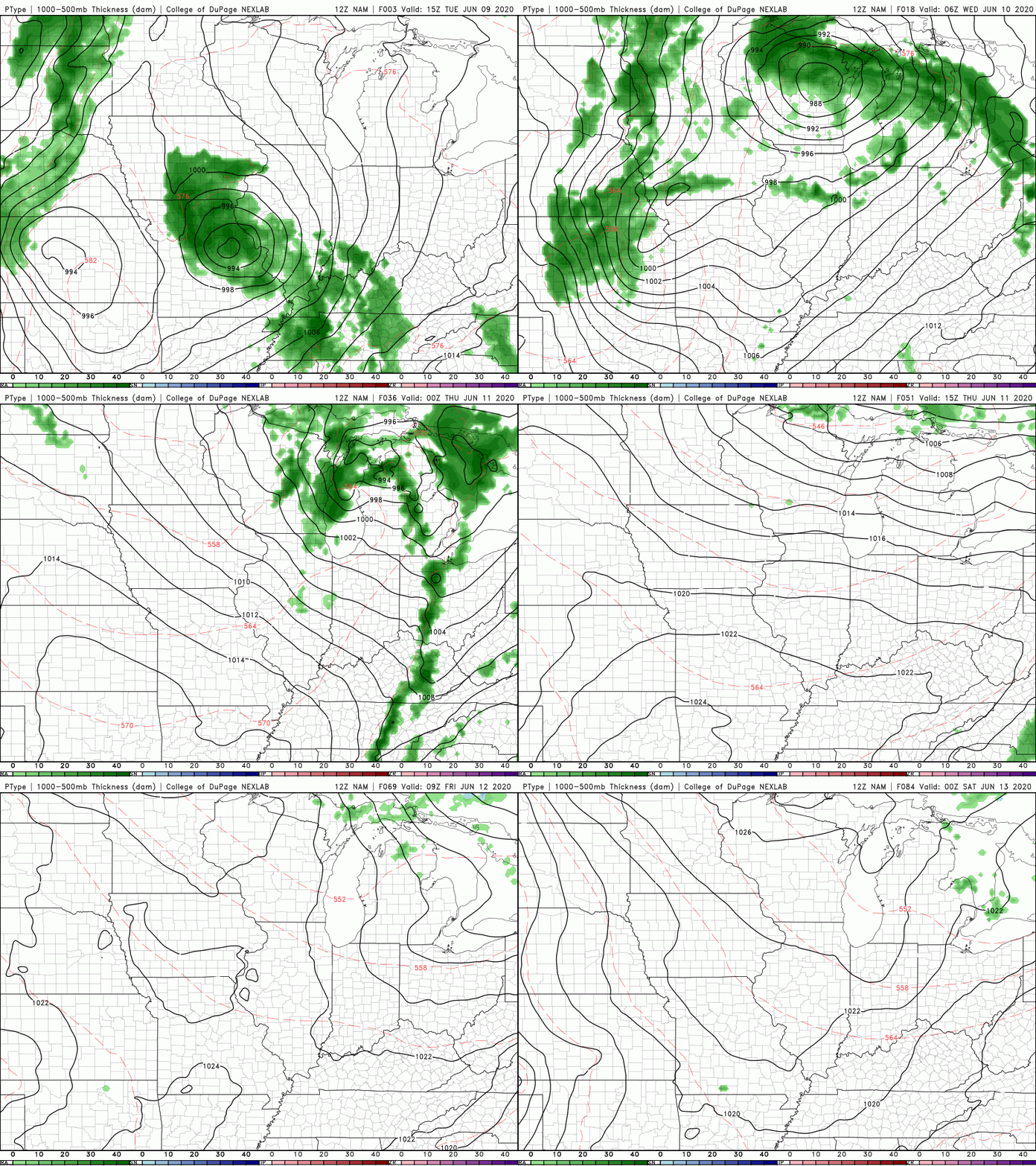
Cristobal continues to work north providing cloud cover and a few isolated showers across east Tennessee. Expect this to continue through the afternoon before fading out overnight. Working into Wednesday, a cold front will provide widespread shower and storm activity in the afternoon and evening hours. The day 2 SPC outlook highlights a marginal risk for the eastern half of Tennessee, so be weary tomorrow afternoon. A few heavier showers/storms will likely produce gusty winds and hail at times. The good news is once the front moves through, it is smooth sailing in the days to follow. Checking out the model guidance, shower activity will be on and off tomorrow with the heaviest batch likely on the leading edge of the front. Timing for showers will be from late morning through the afternoon before heavier shower/storms are likely into the evening. Once the front passes, cooler and drier air will fill its place. If you don't already have plans set for this weekend, you may want to make some. Thursday through early next week will be beautiful with at to slightly below average temperatures and plenty of sunshine.
0 Comments
Leave a Reply. |
Your trusted source for everything weather in East Tennessee.
Social Media
|


