|
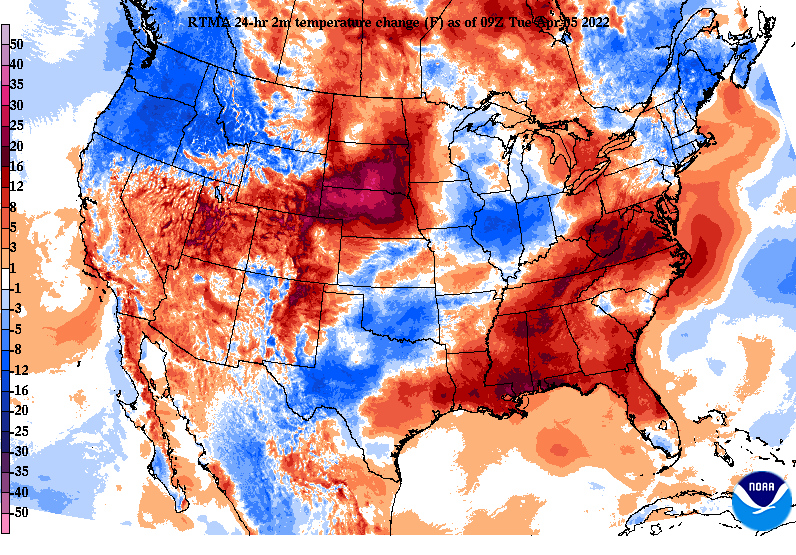
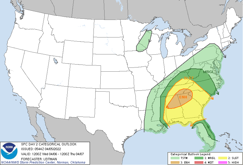
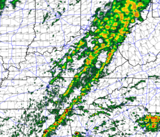
Good morning! Warmer temperatures (when compared to this time yesterday) have moved in and will continue so into tomorrow. Highs this afternoon should top out in the mid 60s under cloudy skies and widespread rain. A few thunderstorms will also be possible this afternoon with the threat of any severe weather primarily well to our south. Moving forward, the SPC has highlighted a Slight to Enhanced risk for severe storms tomorrow afternoon and evening. The biggest threat is across the far southeast, but all of the area has an opportunity for strong to severe storms. The biggest hazard associated will be damaging wind gusts, but tornadoes and large hail will also be possible. Other than widespread rain and a few thunderstorms today, the threat will come along a cold front later tomorrow. Looking at Hi-Res guidance, a thin line of showers will develop from the west. As daytime heating (some sunshine) allows for increased energy, strengthening will occur eastward and allow for strong to severe storms to develop. Though it may not look like much, this line could contain all weather hazards. Have a way to receive alerts and know what to do if warnings are issued the later half of the day tomorrow. We will have further updates tomorrow as far as exact timing, but for now anticipate the opportunity tomorrow afternoon and into the evening hours. For today, don't forget those umbrellas as we'll see showers throughout the afternoon and evening. Pre-recorded for 5pm show
0 Comments
Leave a Reply. |
Your trusted source for everything weather in East Tennessee.
Social Media
|


