|
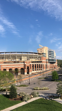
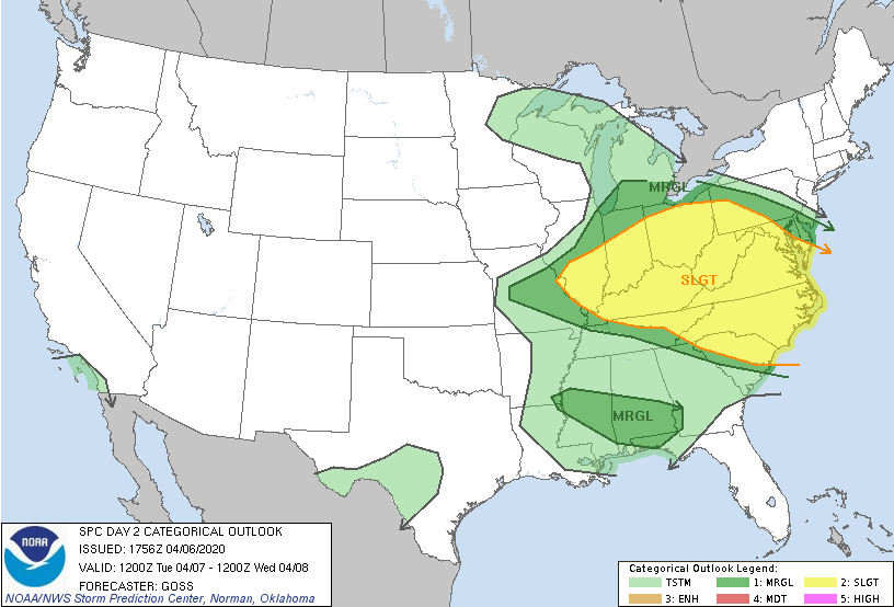
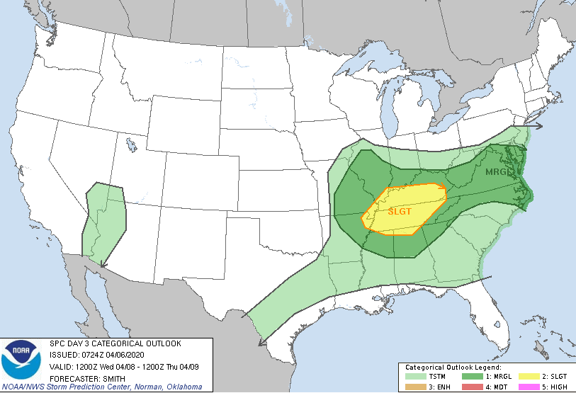
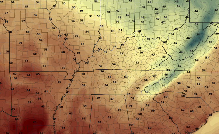
I hope everyone had a good Monday! The shot of Neyland Stadium below highlights today's beauty with few clouds and comfortable temperatures. Changes are on the way though for mid-week as showers and storms could impact the area in the days ahead. Starting with the day 2 SPC outlook (left), a slight risk is in effect for the northern and eastern half of our state. As we saw today, scattered showers will likely move through tomorrow afternoon and evening. With some instability in place, some of these could be strong to severe. Again into Wednesday (day 3 -- right), a slight risk remains as the main system begins to work in. The timing falls in the evening to overnight hours of Wednesday into Thursday with damaging winds and hail the main threats, but isolated spin-up also possible. Model guidance depicts the scattered showers tomorrow afternoon and into Wednesday morning before a cold front works in from the west. If you notice toward the end of the gif, a line of showers works in from the west. Behind this, a cold front that will knock temperatures down to below average on Friday. Tomorrow will feel more like a late summer pop up shower/storm day with a chance for some to be severe. Wednesday night into Thursday will be a more typical setup with a strong jet, instability in place, and a trailing front. Nonetheless, be weather aware both days with an emphasis into Wednesday night. Working into the end of the work week, much cooler air will push in. The cold front will begin to cool things off and clear things up Thursday, providing high's in the upper 50's on Friday. Sunny skies return as well but another round of isolated showers are possible the later part of the weekend. That wraps it up for tonight....I apologize for the late post, but we'll be back to normal for tomorrow. Pay attention for any severe threats tomorrow afternoon and, as always, we'll keep you posted!
0 Comments
Leave a Reply. |
Your trusted source for everything weather in East Tennessee.
Social Media
|


