|
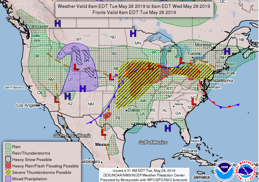
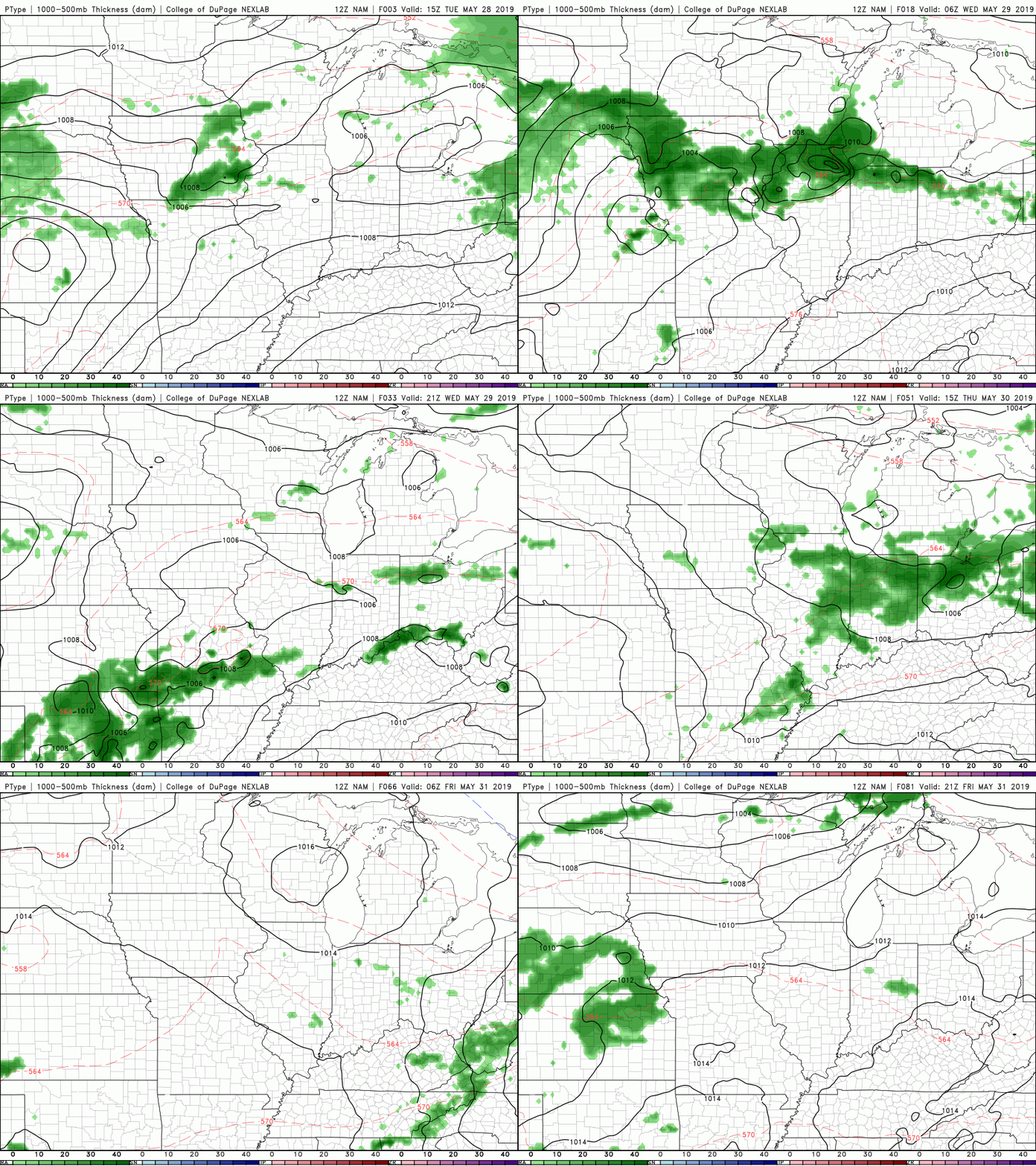
Taking a look at the current forecast map, we see that high pressure system beginning to break down and move out. Behind this ridge is a low that could bring us some rain later this week. As that ridge breaks down, temperatures will begin to decrease, leaving us with high's back in the mid 80's Friday and the weekend. Into Thursday, Friday, and this weekend, we could see some isolated showers and storms pop up, especially in the afternoon/early evening hours. As depicted below, the NAM has us staying dry until Thursday evening when a few showers move through. Take this model with a grain of salt, because I do expect a few isolated showers to find their way into east TN toward the end of the week and weekend. Sufficient precipitation water values and day time heating are factors that will be there later in the week, all we need is an initiation (Such as the mountains) source to fire off a few storms in the area. I will let you know of any changes in the forecast, until then, have a good rest of your work week!
2 Comments
Leave a Reply. |
Your trusted source for everything weather in East Tennessee.
Social Media
|


