|
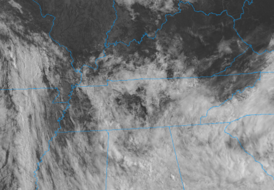
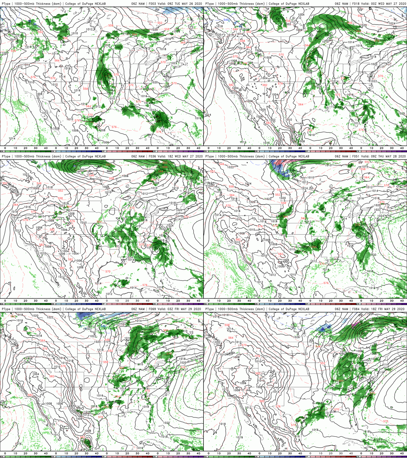
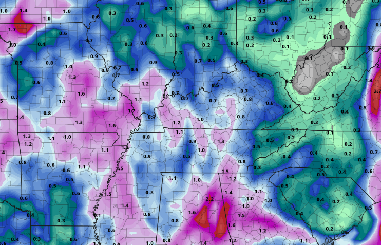
Cloud cover will increase across the area this afternoon providing a bit of a reprieve from the very warm temperatures. Muggy conditions continue to stick around though with afternoon pop up showers/ thunderstorms still possible. Southern flow remains dominant across the region so we will continue having afternoon pop up showers and muggy conditions today and tomorrow. Looking into the second half of the work week, a low pressure system sitting on the eastern side of the Rockies will phase in and provide better rain chances later Thursday, Friday and parts of the weekend. A cold front will also accompany this moisture late Friday, providing cooler afternoon temps for the start of the weekend. Overall rainfall amounts this week remain limited. With afternoon pop up showers/storms the dominant driver today and tomorrow, most rainfall will be in the higher elevations with storms flowing into the valley (what we saw on Memorial Day). Towards the end of the work week, showers will be more widespread giving a better rain coverage for the area. Nonetheless, rainfall totals will be near normal through Friday with between 0.5" and 1" likely for east TN. Cloud cover increases today but shower chances remain the same. Have a good Tuesday and continue staying hydrated; muggy conditions stick around the remainder of the week.
0 Comments
Leave a Reply. |
Your trusted source for everything weather in East Tennessee.
Social Media
|


