|
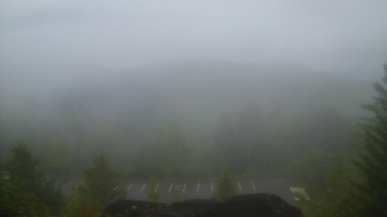
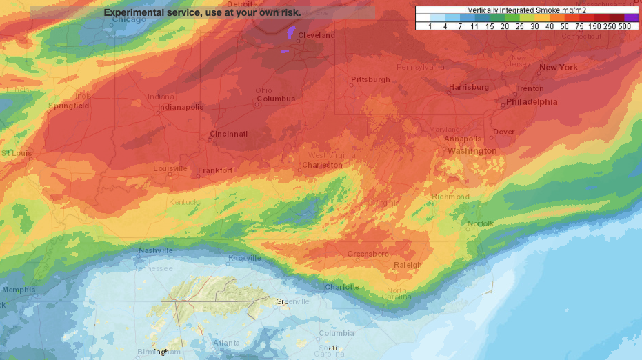
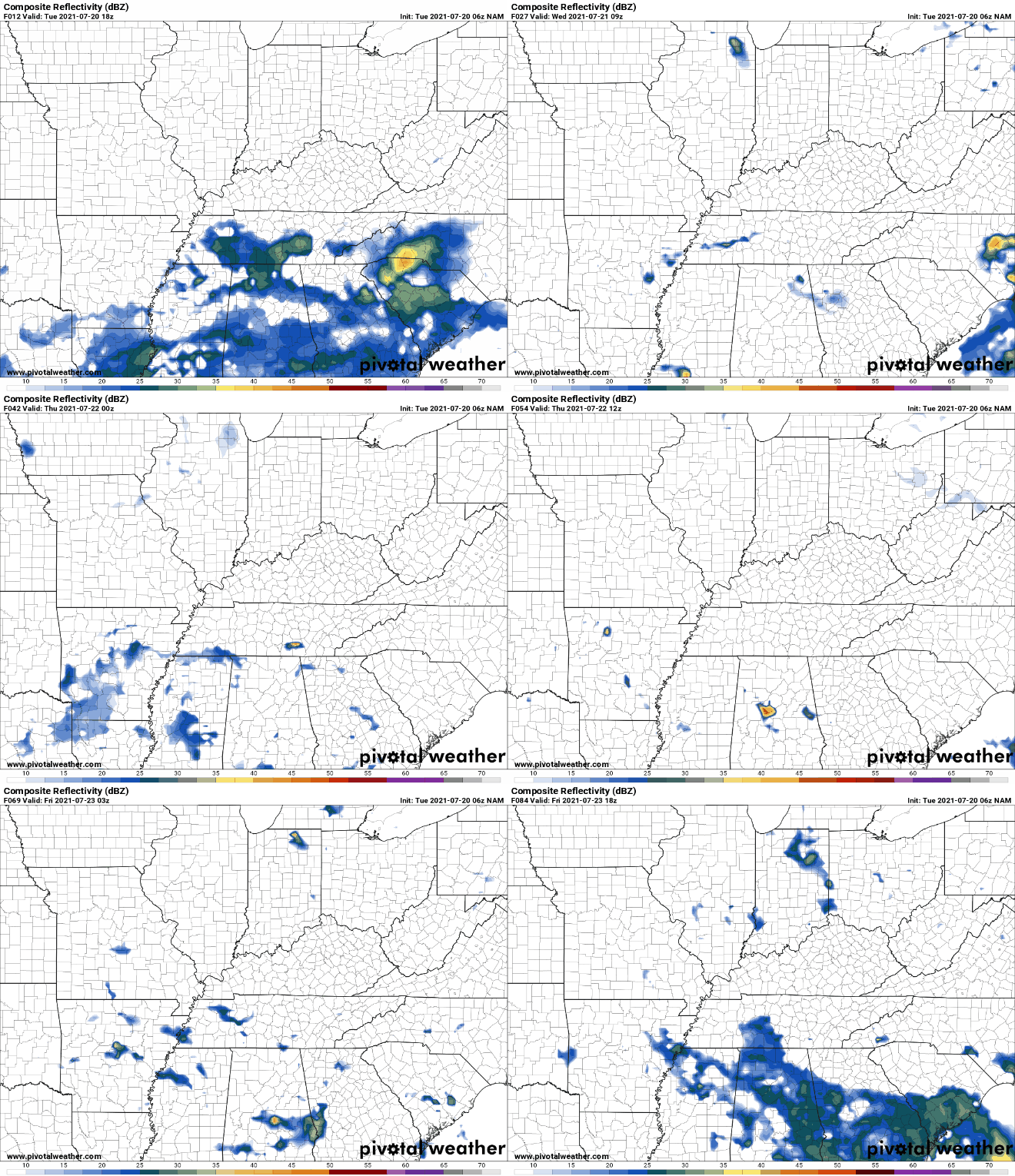
Good morning! The latest view from the Smokies shows dense fog, while patchy fog can be seen around valley locations. Take a little extra time to get to work & school this morning. For this afternoon, isolated showers & storms will be possible with highs in the low to mid 80s. We do have some light ongoing showers along the southeast (Chattanooga and east), which will be the primary area for any activity today. Something we don't typically see in East Tennessee is smoke. Looking at the vertically integrated smoke model, numerous wildfires out west and in Canada, along with high pressure, has allowed for smoke to fill in our upper atmosphere. This is especially true through Ohio and further north. Knoxville remains in the "green" but for those traveling north over the next day so could run into health related issues for those more prone to such exposure. This will also make for good sunsets for you photogenic folks! Don't forget to share them with us via Twitter/Facebook/Email. As for rain & storm chances ahead, things look to dry out a bit. Activity isn't entirely out of the question but with a front well to our south tomorrow and high pressure to our north and west, things will be warmer and drier. As the pattern shifts, scattered showers/storms will return for Friday and continue (mainly in the afternoon) through the weekend and early next week. Temperatures will also be very warm with highs running in the low 90s and feel-like temps nearing 100 for some. Today will likely be the coolest of the days ahead, so take advantage. High pressure will build in for Wednesday drying things out and warming temperatures up. Take a look at our video forecast below for more. Pre-recorded for 5pm show
0 Comments
Leave a Reply. |
Your trusted source for everything weather in East Tennessee.
Social Media
|


