|
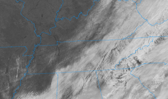
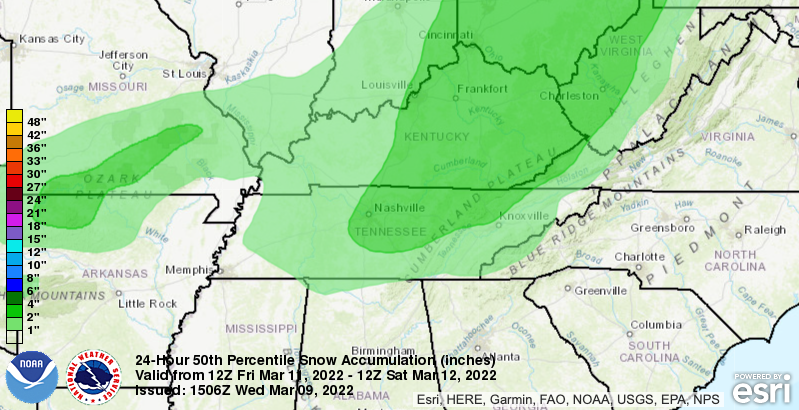
Showers have vacated the area, leaving only cloud cover it their wake. As we work through the day, some will see a bit of sunshine, but better opportunities will be in store for Thursday. Highs today will be seasonable in the low to mid 50s, warming to the low 60s by this time tomorrow. Turning our focus to this weekend, confidence continues to increase that most will see some snowfall Friday night into Saturday. A very stout cold front will make its way through, providing the chance for light to moderate accumulations across the area. Higher snowfall rates will also accompany this, helping to overcome the warm surface temperatures that will be in place. Following, cold temps will be around Saturday (mid 30s) before much warmer and drier air returns Sunday and Monday. Taking it one step further, this is highlighting the most likely outcome. As you can see, valley locations can see up to 2 inches of snow, with the Plateau and higher elevations (north) between that 3-6" range. The southern valley will have the "shorter end of the stick" with accumulations between a dusting to 1 inch. Changes will be likely with this, but prepare yourself now for snowfall potential. Again, timing will come Friday night into Saturday morning as rain changes over to snow behind a quick moving and strong cold front. For now, enjoy the decreasing cloud cover and warming temperatures. Highs will return to the 60s tomorrow, with partly cloudy skies above. A late time season winter system will then take aim late Friday and into the early weekend. More details can be found below as well! Pre-recorded for 5pm show
0 Comments
Leave a Reply. |
Your trusted source for everything weather in East Tennessee.
Social Media
|


