|
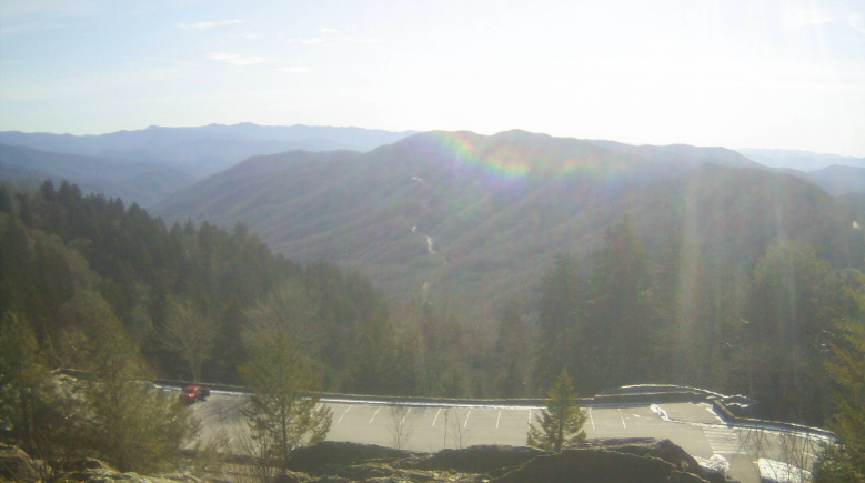
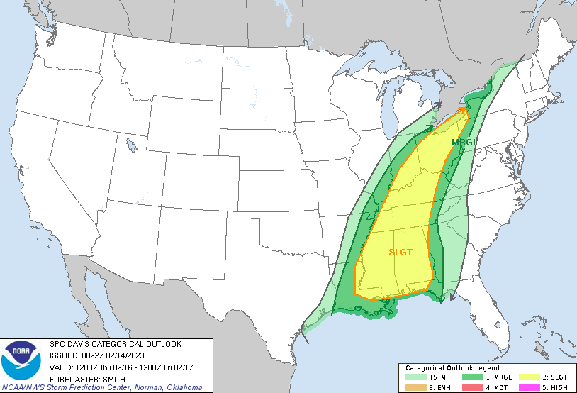
Good afternoon and a happy Valentines Day! A beautiful day across the Smokies but further west cloud cover is quickly filling in. This will be the case for the next few days, as a potent low pressure system approaches the area. Sunny skies will turn cloudy to eventually showery as the associated cold front draws near. As far as today, it'll be a warm one with highs in the low 60s. Cloud cover will continue increasing, leading to isolated and scattered showers overnight. Breezy southwest winds should be expected the next couple of days. With the low and cold front on its way, the Storm Prediction Center has highlighted a risk for severe storms. The timing of this comes Thursday morning to early afternoon, before cooler temperatures follow Friday. The primarily threat will be damaging wind gusts but a lone tornado can't be entirely ruled out. Timing wise, there is still some uncertainty but generally the bulk of stronger activity will be overnight Wednesday and through the first half of the day Thursday. Stay weather aware and tune back in for updates. Timing will play an important role with this system. Looking at the play by play, isolated to scattered showers will be possible tonight and through Wednesday. By Wednesday night, a line of showers and storms will take shape ahead of the approaching front. This line will slide east, pushing through East Tennessee into Thursday. As mentioned, timing is important and any changes could bring a slightly better chance for storms or a lesser chance. With the front out and through by late Thursday, much cooler air will filter in Friday. Highs will plummet 20+ degrees, where highs only peak in the low 40s. This will fortunately be short lived, as temperatures climb back northward through the weekend. Pre-recorded for 5pm weather broadcast
0 Comments
Leave a Reply. |
Your trusted source for everything weather in East Tennessee.
Social Media
|


