|
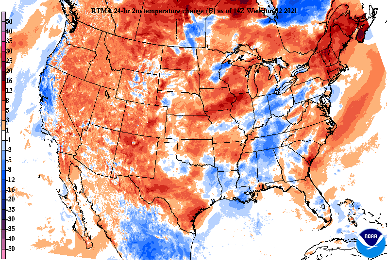
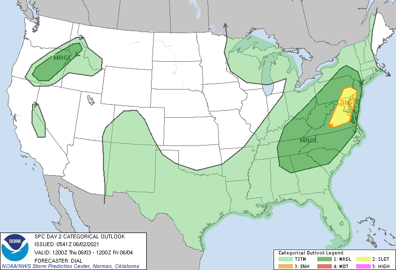
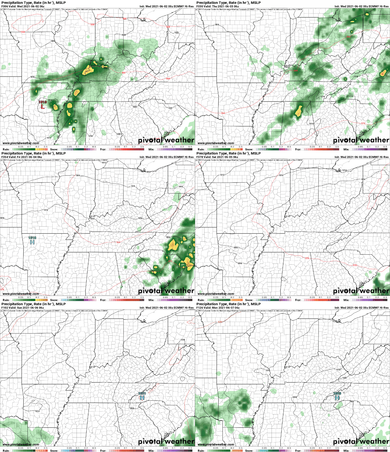
Cloud cover has dominated much of the morning and temperatures are reflective of that, nearly 10 degrees cooler in some spots than this time yesterday. Radar is also picking up on showers working across the northern plateau and upper valley (12:10pm). These will continue to work through periodically today before better showers/storms arrive tomorrow. Looking at the latest SPC Day 2 release, all of East Tennessee is under a Marginal risk for severe storms (1/5). The parameters for this look weak, but an isolated strong-to-severe storm can't be entirely ruled out. The main threats will be gusty winds, small hail, and localized heavy rainfall at times tomorrow afternoon. For the majority of us, anticipate widespread rainfall, a few thunderstorms, then cloud cover slowly decreasing by Friday afternoon. A look at modeled radar depicts the "run-down" for tomorrow. Showers will arrive early with a few thunderstorms trickling in by the afternoon and through the early evening. By Friday, a few lingering showers will fall into the morning before gradual clearing takes place in the evening and overnight. For the weekend, partly sunny skies will be the trend with isolated afternoon showers/storms possible. Though the severe threat looks low and not very favorable, do be weather aware. We'll pass on any watches/warnings through social media, so if you don't follow us already check out our Twitter/Facebook @SecretCityWx Pre-recorded for 5pm show
0 Comments
Leave a Reply. |
Your trusted source for everything weather in East Tennessee.
Social Media
|


