|
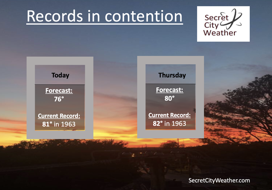
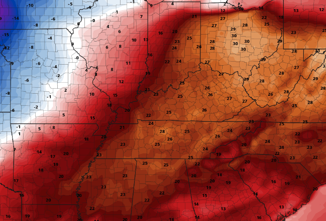
Good afternoon! Are you enjoying the now sunshine and warm air? If so, more is on the way tomorrow. Cloud cover has been slow to retreat this morning/early afternoon, but most are now seeing sunshine across East Tennessee. Looking at the records we have, we could be close to breaking a couple. Below are the current high temperature records for today and Thursday. If it was not obvious enough we are well above average by throwing in near record temperatures, take a look at the graphic below. This image is the difference between our average highs and those of which we are expected to see tomorrow. We are talking temperatures 20-30 degrees above the norm! After our warm stretch, cooler temperatures do find us into Friday as a cold front passes through Thursday night. Until then, a frontal boundary will approach tonight bringing showers and maybe even a storm. We will begin to clear back out tomorrow, before isolated shower chances with the cold front find us Thursday night into Friday. Though Friday will generally stay on the drier side, cloud cover will remain in place. The next disturbance will then arrive Friday night and Saturday, bringing the best shower chances over the next 5 days. Lingering activity will remain through Sunday before yet another system into early next week. Temperatures will remain above average through at least early next week, but be the warmest today and tomorrow. Mid 50s should be expected Friday and Saturday, before warming back towards the 60s and even 70 Sunday and Monday.
0 Comments
Leave a Reply. |
Your trusted source for everything weather in East Tennessee.
Social Media
|


