|
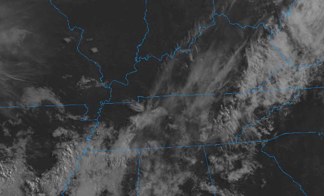
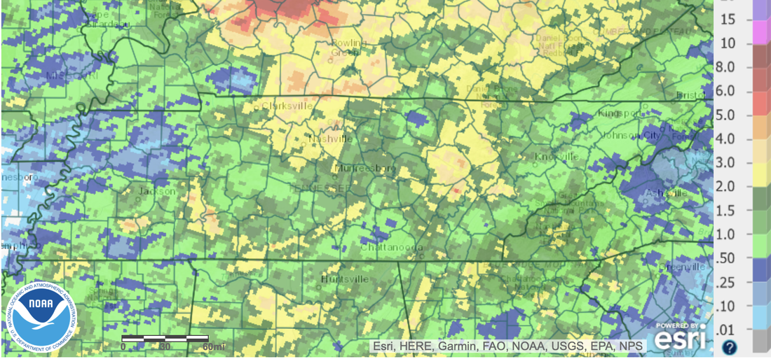
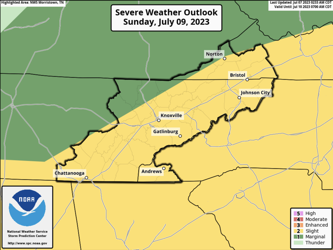
Good morning! Patchy dense fog started the day off, but has since started to burn off. Higher up, clouds are doing much of the same, as sunshine is creeping in more and more. By this afternoon, most will veer partly sunny with highs topping out in the upper 80s. Other than a few isolated showers in the far east (along the Smokies) most stay dry! Looking at our rainfall, unsettled weather has come in several waves as of recent. Looking over the past week (not including yesterday), most locations saw a healthy 1-3" with locally higher amounts in the central plateau and valley. As high as 5" was seen in these counties. Moving forward, another bout of heavy rain is in the forecast, before some much needed drier weather returns towards Tuesday. Speaking of that next round of rainfall, this is the severe outlook from the Storm Prediction Center. A slow moving cold front will bring the threat for scattered instances of damaging winds and the chance for large hail. The timing for this will come Sunday afternoon to evening, with activity weakening into the night. A few strong storms also can't be ruled out in the plateau late Saturday afternoon and evening. With the rainfall we have picked over the past several days highlighted above, the threat for flash flooding is a little higher. Be weather aware the later half of the weekend and have a way to receive warnings (both for severe and water related hazards). Temperatures will stay seasonal through Saturday, before cooling to the low 80s Sunday with rainfall, clouds, and a passing front. Highs will then moderate Monday into midweek. Enjoy the beautiful day we have ahead and stay safe through the weekend. We will be updating via social media, so if you don't already, give us a follow!
0 Comments
Leave a Reply. |
Your trusted source for everything weather in East Tennessee.
Social Media
|


