|
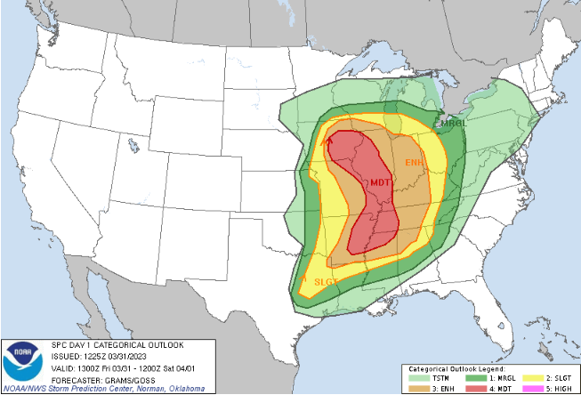
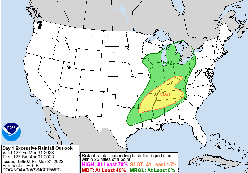
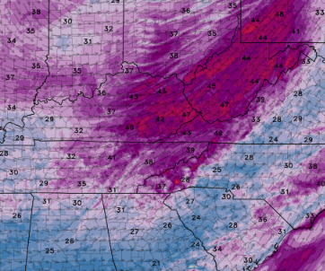
Good morning! Forewarning to be weather aware as we work into the night tonight. A line of storms is expected to work east today, arriving tonight into early Saturday morning. Looking below, the SPC has highlighted a Marginal risk for much of the area, while a slight across the Plateau and southern valley. I would not at all be surprised to see this slight shifted further east given some of the latest guidance, so stay tuned. As far as timing and threats, initial arrival of the front will come between 11 pm and 3 am, working east into Saturday morning. The biggest threat will be damaging wind gusts but an isolated tornado can't be ruled out. To a lesser extent, flash flooding will be possible. Though we have not had a ton of rainfall in the most recent days, strong storms in addition to the on going rainfall this morning could pose concerns. Prepare now, especially if near low water zones and common flash flood points. Lastly, even after the cold front departs, winds/gusts will be strong. A wind advisory has been issued for Saturday as a result, with gusts as high as 50+ mph in some locations. Sustained southwest winds of 15-25 mph are also expected. Bring in and secure any outdoor objects you may have. The biggest take away is to have a way to receive warnings tonight. Strong storms could bring 60+ mph straight line winds along with isolated tornado chances. Be weather aware, know your safe place now, and have multiple ways to receive alerts. Better conditions return by tomorrow afternoon and into Sunday, before shower chances pop back up early next week. Another strong system could even bring storm chances mid week (so stay tuned for updates on this one). Pre-recorded for 5 pm weather broadcast
0 Comments
Leave a Reply. |
Your trusted source for everything weather in East Tennessee.
Social Media
|


