|
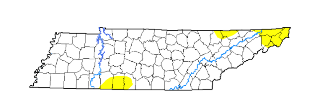
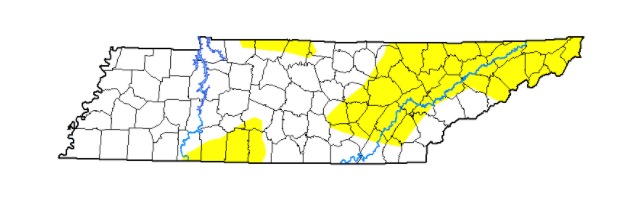
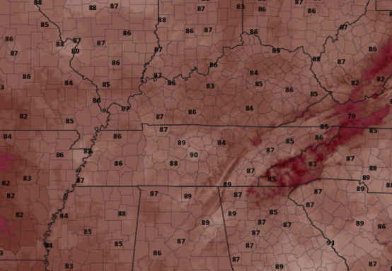
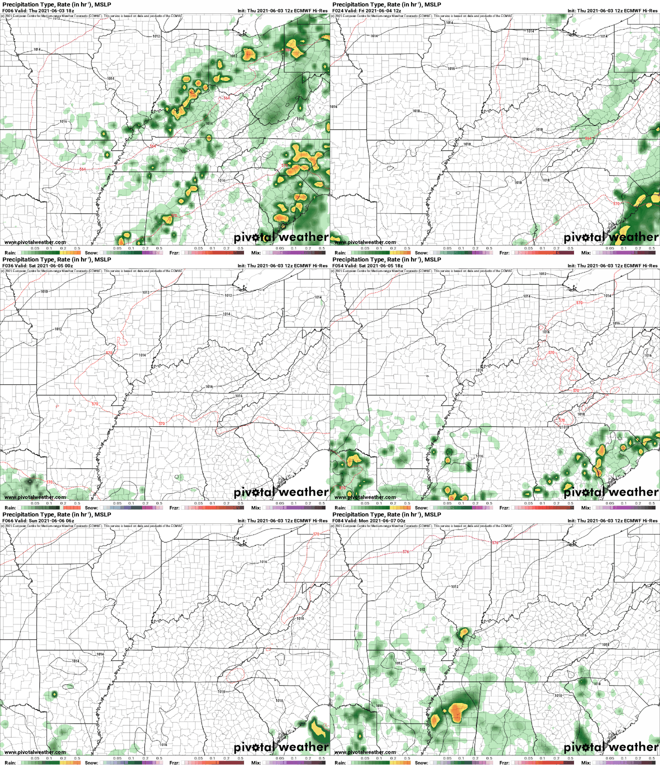
A dense fog advisory has just expired (9am) as many river valleys saw widespread fog. Pushing into this afternoon, cloud cover will continue to clear out leaving highs in the low to mid 80s. The latest drought map has worsened since last week. As seen below, (left to right) abnormally dry spots have increased, particularly across East Tennessee. Given the below average rainfall we have had this month, it is not surprising. On the flip side, most locations picked up 0.5"+ yesterday and another system is expected to arrive early to mid week next week. With high pressure building in this afternoon, temperatures will be quite toasty for the start of the weekend. Most valley locations will top out in the upper 80s with lower 90s not out of the question for southern locations. Showers will hold off until Sunday where an isolated afternoon pop-up shower/storm is possible in the higher elevations. The same can be said for Monday as well before a system arrives into Tuesday and Wednesday bringing widespread showers and a few storms. In the coming months, we will be looking to revamp our website. We hope to make it more user-friendly, informative, useful, and appealing. If you have some time (3-5 minutes), please fill out this brief questionnaire. Your answers will be beneficial in steering the direction we go! Link attached below or by clicking the "Website Questionnaire" https://forms.gle/mB2Pm1TitP1UFT539 Pre-recorded for 5pm show
0 Comments
Leave a Reply. |
Your trusted source for everything weather in East Tennessee.
Social Media
|


