|
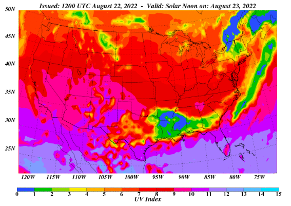
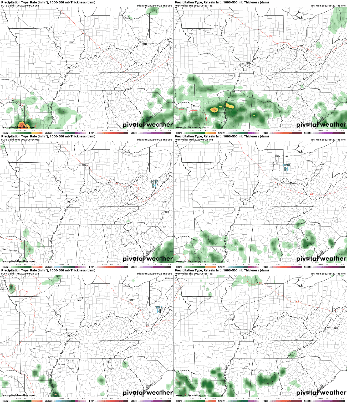
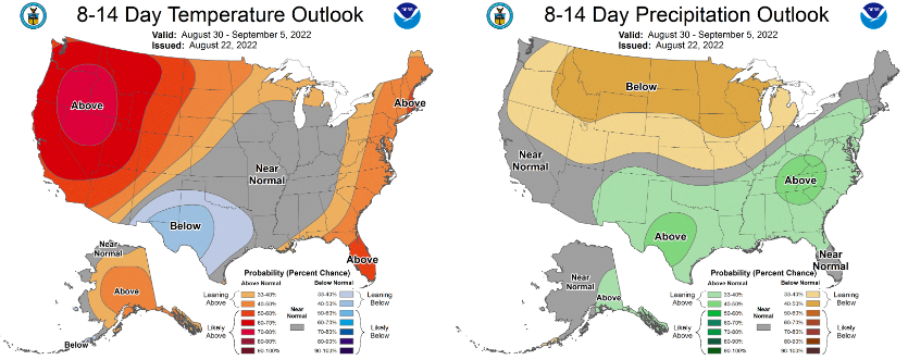
Sunshine should be out in full force today, allowing for UV indices to peak in the 8 to 9 range both today and tomorrow. This won't be as aggressive than a few months ago when ray angles were a bit better, but this is still high and sunscreen will still be needed! In terms of rainfall potential though, most veer dry today and tomorrow before shower chances return Thursday. Any development will be the usual summer time peak heating stuff, during the afternoon and early evening, before fizzling out overnight each day. Chances will generally be 30-40% Thursday and onward. Highs will warm up as well, returning to the upper 80s, and for a few, low 90s. Looking longer term (early September), the Climate Prediction Center suggests near normal temperatures will stay in place. For us, that means mid to upper 80s, while precipitation is expected to be above average. Typically, September is one of our drier months, so we could see something similar to earlier this month and rounds of rainfall. For now, this is just an outlook of probabilities, with changes possible. Highs will warm up in the days ahead, topping out in the upper 80s most days. It will feel a bit closer to real summer after low and mid 80s experienced for the past two or so weeks. Have a good one and don't forget to give us a follow on Twitter & Facebook @SecretCityWx Pre-recorded for 5pm weather broadcast
0 Comments
Leave a Reply. |
Your trusted source for everything weather in East Tennessee.
Social Media
|


