|
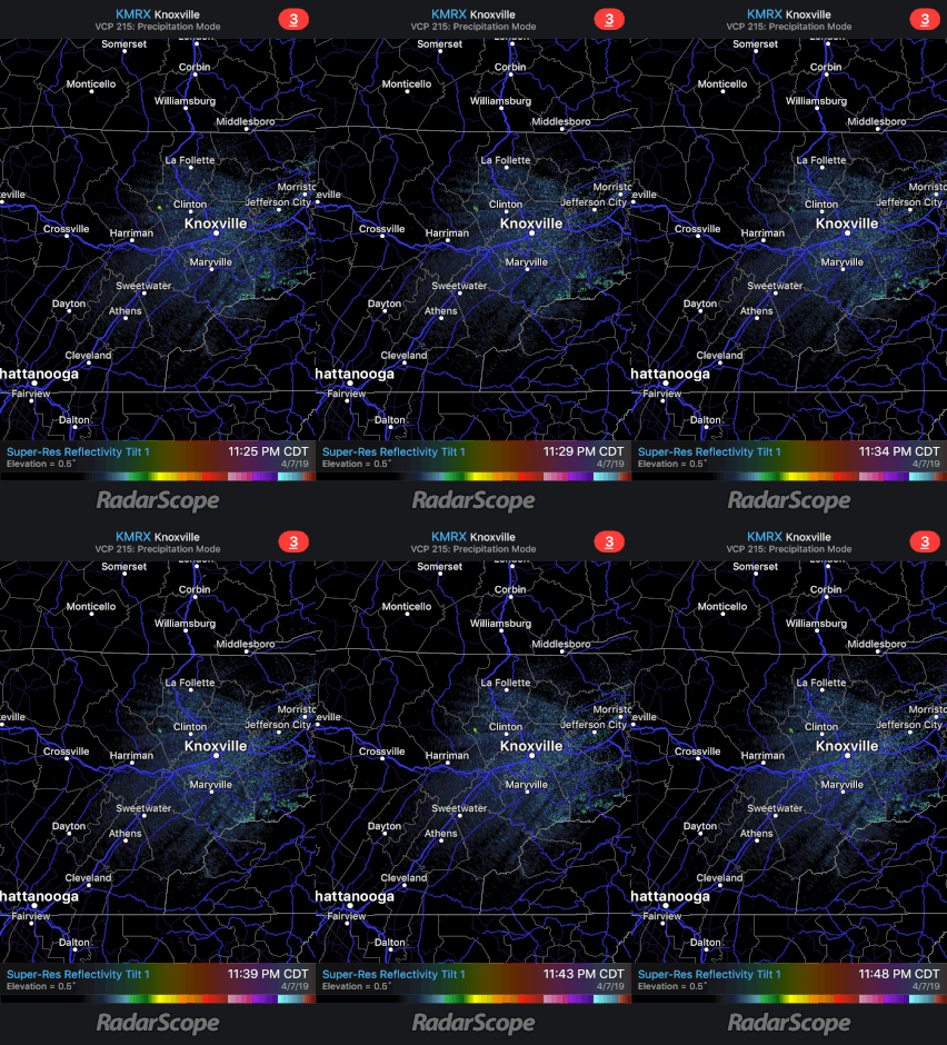
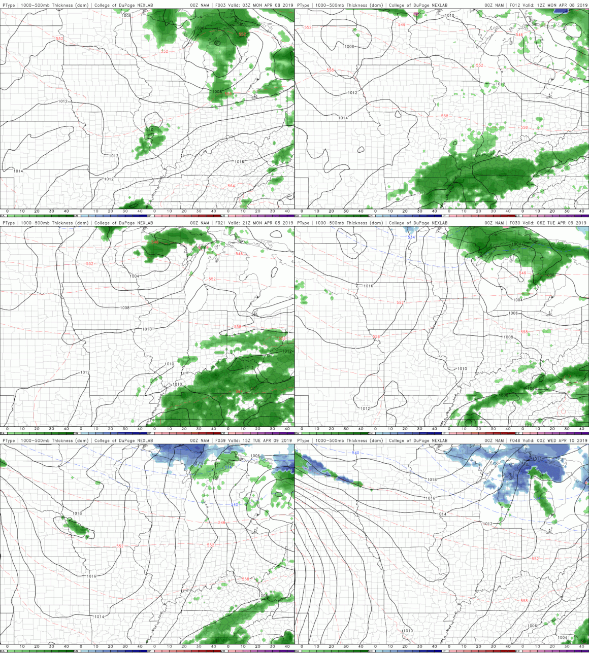
Hello and I hope everyone has had a good weekend! Overnight tonight, we will stay mostly dry (as seen from a live look at Radar below). Most of the showers moved out a bit quicker than expected leaving us just cloudy overnight. Unfortunately, more showers are to come. It was a dreary weekend with Saturday likely being the only day of much production outdoors. We saw some scattered storms roll through our area Sunday afternoon, a few of which were severe in Hawkins, Cocke, Greene, and Hamblen counties. Reports of hail and heavy winds were recorded in these counties to go with the severe thunderstorm warning issued by NWS Morristown. Moving into the start of the work week you can expect much of the same, so keep those umbrellas and rain jackets handy! Showers will likely move in Monday morning to early afternoon. Overall, some of these showers will have thunderstorms, heavier winds, and heavier rains included. As of now, the SPC (Storm Prediction Center) has the east TN area under a Marginal risk with a Slight risk of severe storms to our west in middle and west TN. Basically, a Marginal risk states that thunderstorms are possible and the chance of severe weather is low. With this said, we can never rule out the possibility of severe weather occurring so always be "weather ready" if an important alert is issued. Below is a model run of one model showing the general timing of the rain and how long it will stick around. As depicted above, most of the rain will move out by Tuesday, leaving a beautiful Spring-like day Wednesday. Mid-week looks to be dry before we once again finish the week with more rain showers. I will let you know what all you can expect going into Thursday and Friday sometime Wednesday, but until then, don't forget those umbrellas for the start of the week!
0 Comments
Leave a Reply. |
Your trusted source for everything weather in East Tennessee.
Social Media
|


