|
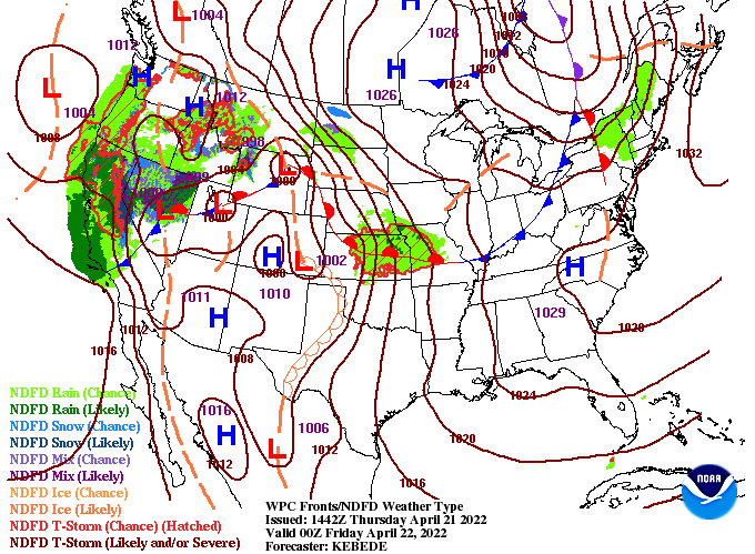
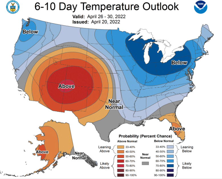
Good afternoon! Cloud cover remains locked in so far today, but will gradually thin out through the remainder of the day and overnight. This will set up a sunny end to the work week, with highs finding the 80s. As for today, highs will run from the mid to upper 70s under a breezy south wind. As far as weather in the days ahead, we stay mostly dry and warm. A frontal boundary hanging just to our north is resulting in the cloud cover and sprinkles we've seen so far today, but this will build north in the form of a warm front through Friday and the weekend. This will bring the return of sunshine and continued warmth through at least Sunday. Another disturbance will then bring shower chances toward early next week. Looking toward the end of the month, A swing back to below average temperatures looks increasingly promising. In addition, rainfall looks to be at to below average. This will be something to watch for as limited rainfall could lead to increased drought conditions across the state. Other than a few sprinkles early this afternoon, the day will stay cloudy with gradually clearing skies. Take advantage of the sunshine and warmth Friday and the weekend before showers and a swing back to cooler temperatures returns next week. Pre-recorded for 5pm
0 Comments
Leave a Reply. |
Your trusted source for everything weather in East Tennessee.
Social Media
|


