|
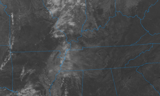
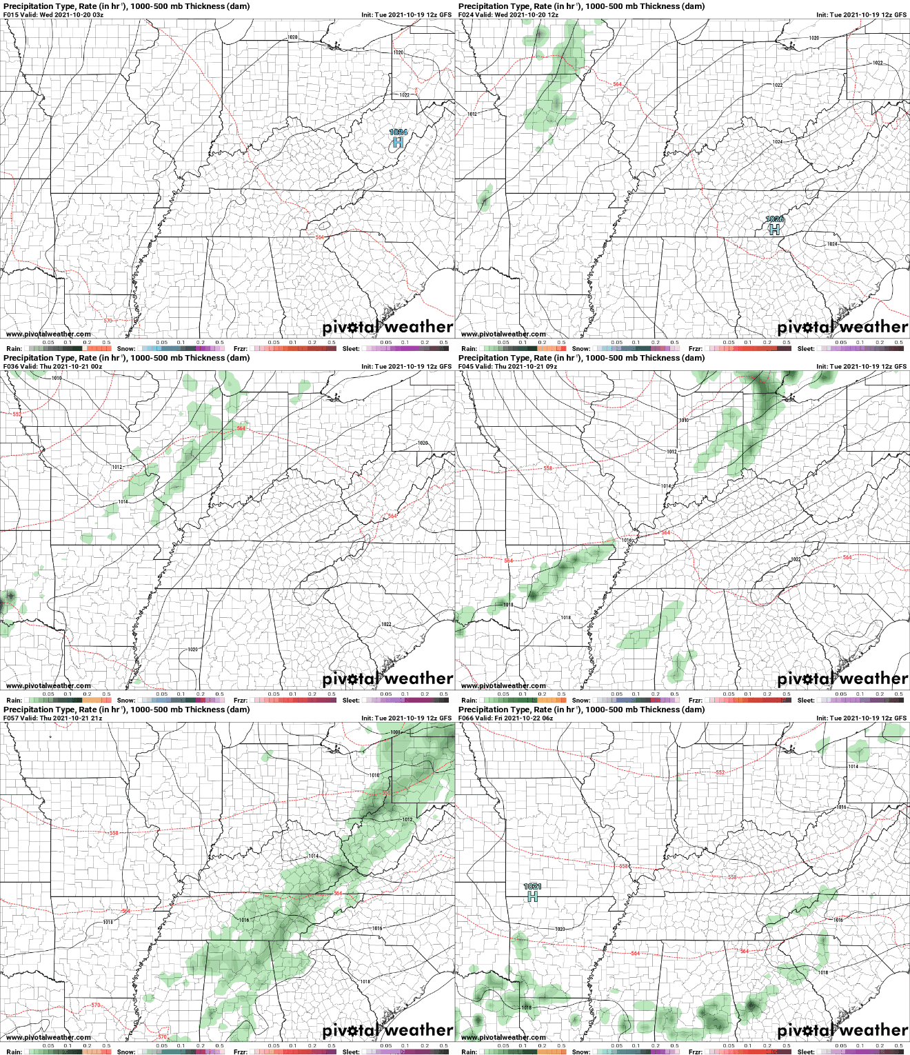
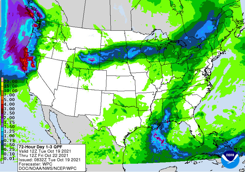
I hope you are enjoying these blue skies and seasonable temperatures! Some changes come Thursday, but until then, anticipate a few high clouds working in tonight and through Wednesday afternoon. Looking on satellite, you can see cirrus working in from the west. This will increase tonight, but shouldn't be enough cover to limit overnight lows, with temps bottoming out in the mid 40s for most. Working ahead, a low and cold front, currently in the Central Plains, will work east. As mentioned, cloud cover will increase tomorrow afternoon, with isolated showers possible Thursday morning. These will increase to be more scattered and widespread by the afternoon/early evening with thunderstorms possible (but limited) as well. Post-front, things clear back up but another round of isolated showers could find us late weekend/early next week. This system & front won't be as impressive as the previous one we had. Nonetheless, upwards of a quarter of an inch of rain will be possible for the day Thursday. A few locations could see locally higher amounts within thunderstorms. We will continue to warm up Wednesday, with highs in the mid 70s. A cold front and associated shower activity will arrive Thursday, followed by cooler temperatures Friday (mid and upper 60s). Pre-recorded for 5pm show
0 Comments
Leave a Reply. |
Your trusted source for everything weather in East Tennessee.
Social Media
|


