|
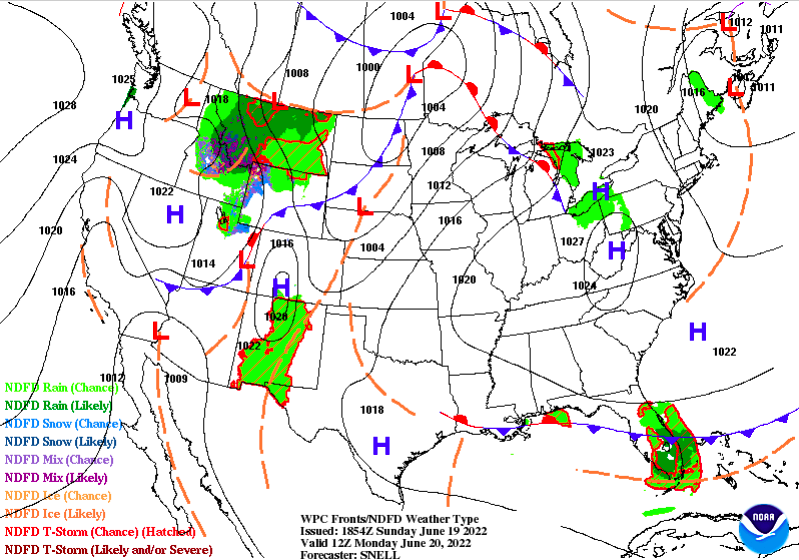
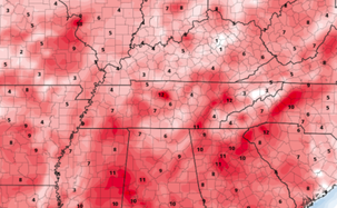
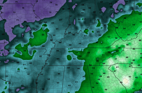
High pressure will once again be in control this week, as highs soar back into the 90s. The one positive is the lower dew points. This will make things feel much less humid and more true to what the actual temperature is. As you can see (right) below dew points will run in the 50s to low 60s through at least Wednesday, making things feel dry but warm. This is side by side to the temperature anomaly map (left). This is depicting what afternoon temperatures are expected to be compared to the average for this time of the year. As you can see, we will average 10-15 degrees above normal, landing highs in the mid (and for some) upper 90s. In terms of drought, we are doing alright (for now). I anticipate with our streak of very warm and very dry conditions for things to change fairly quick. Rainfall amounts over the next week look to be very limited, so we'll have to keep a close eye on how this impacts the state. My guess? most of the area will climb the ranks to a D0 and D1, with increased impacts possible next week. Overall, the main messaging this week will be heat safety (yet again). Highs will top out in the low and mid 90s tomorrow and through at least Friday. We could see a very isolated shot at rain overnight Wednesday and again this weekend, but chances will be few and far between. Stay safe, stay cool, and drink plenty of water! Pre-recorded for 5 pm show
0 Comments
Leave a Reply. |
Your trusted source for everything weather in East Tennessee.
Social Media
|


