|
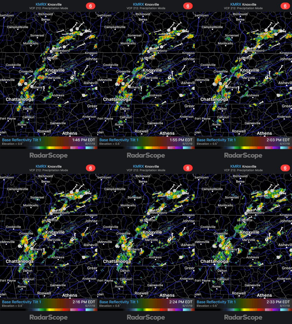
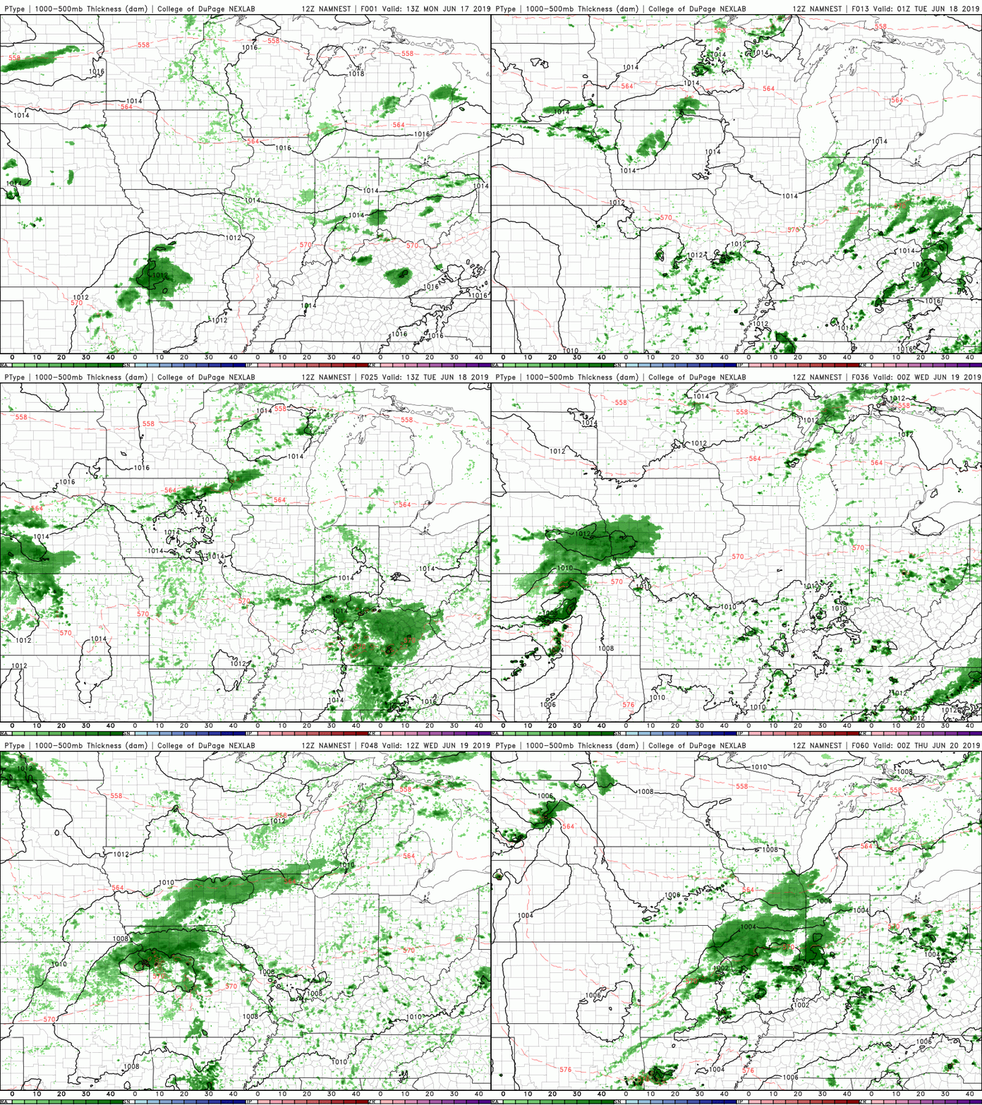
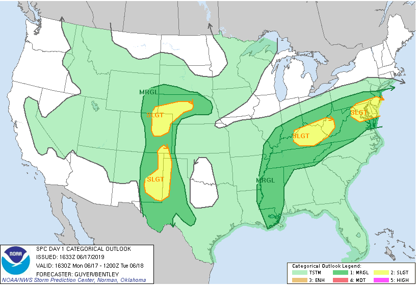
Happy Monday to everyone! I hope all have enjoyed the great weather we had the second half of last week and into this past weekend. Sadly, some changes in the weather pattern are taking place if you have not noticed already. Taking a look below at radar we see scattered storms throughout much of the east Tennessee area. These storms are capable of producing heavy winds, thunder, downpours, and small hail. Further investigating the remainder of today through Wednesday afternoon, we see much of the same story. Due to a southern flow into our area, those temperatures and "sticky" conditions will stick around for today before we cool down slightly Tuesday and Wednesday. The warmth and humidity will act as fuel (we call this convection) and help in the production of these storms we are seeing pop up this afternoon. Please use caution if you do get caught in one of these cells. The severe potential is on the lower confidence level, but I would not be surprised to see a severe thunderstorm warning or two issued sometime this afternoon and evening. I will be the first to let you know if this does occur, where at, and what you can expect. Below is the Storm Prediction Center's severe weather out look for today. We are under a Marginal risk with a slight risk to our friends to the north in Kentucky. Over the next few days (today through Wednesday) we will remain under a Marginal risk. If any changes occur I will let you know, but as of now, severe potential is held to a minimum. As for the remainder of the work week, expect pop up storms and showers, similar to today, to be the main story. As described and shown above, we are under a marginal risk for severe weather today through Wednesday. This means thunderstorms are likely but the potential for tornadoes is very low. As I referred to, temperatures will decrease sightly as we work our way into Tuesday with high's in the low to mid 80's through Thursday. Friday looks to be our best day (work week wise) for any outdoor activities with only isolated pop up storms expected. I will let you know what you can better expect this weekend and early next week in the coming days. Until then, follow us on Twitter (@SecretCityWX) and Facebook (@SecretCityWX) for the latest updates throughout the day. This can be seen on the right-hand-side of our website, as well. Also, don't forget we have a 24/7 radar you can access in the "Radar" tab at the top of the page. If you are ever unsure of where the rain is, check it out so you don't get caught in a shower! I hope everyone has a good week, and try and stay dry out there.
0 Comments
Leave a Reply. |
Your trusted source for everything weather in East Tennessee.
Social Media
|


