|
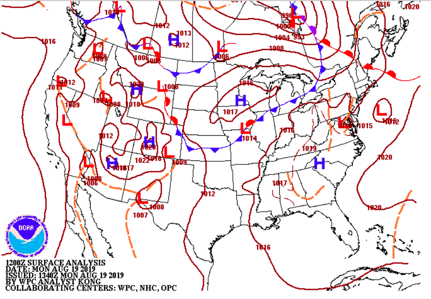
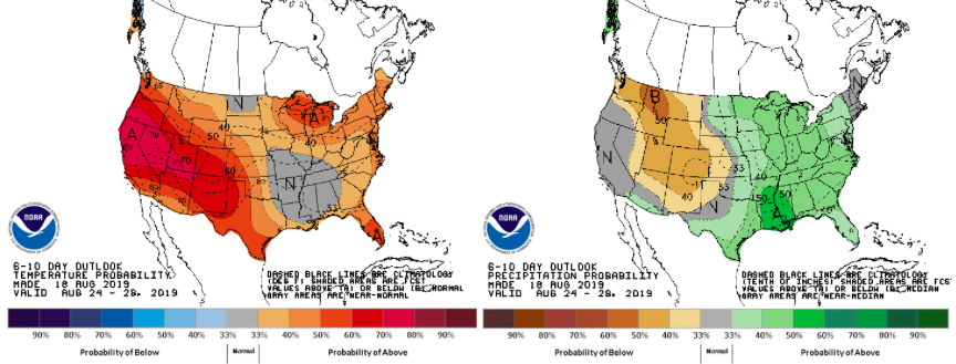
I hope everyone has stayed cool the past few days as we have had high's in the low to mid 90's each day. Unfortunately, these temperatures will continue through much of the first half of the week along with higher humidity. Below is the current surface map showing the high pressure system that has kept us so hot and dry for much of the later half of last week. Today, this high will begin pushing out where a front will move into the area by mid week. Looking at the heat indices for tomorrow, we will stay hot with temperatures near the triple digit mark Tuesday afternoon. As we transition to Wednesday, we will feel slightly cooler as clouds begin to move in ahead of the front. The latest model data shows isolated pop up storms this afternoon and tomorrow afternoon (mainly in the higher elevations). As we move into Wednesday, cloud cover increases and so do those rain chances. Models are suggesting our best chance for rain comes Thursday and Friday. With rain chances higher toward the end of the week, we will also have cooler temperatures, thanks to cloud cover and rain-cooled air. Looking ahead, the end of August looks to be back toward average with high's in the upper 80's and near to above average precipitation. For you Fall lovers, Summer looks to be far from over. As we get into September, we will be eyeing for any pattern changes that hint toward to arrival of fall and those cooler temperatures.
0 Comments
Leave a Reply. |
Your trusted source for everything weather in East Tennessee.
Social Media
|


