|
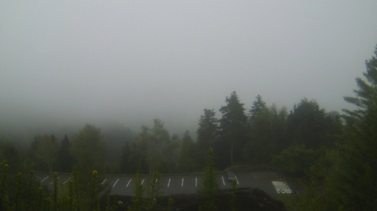
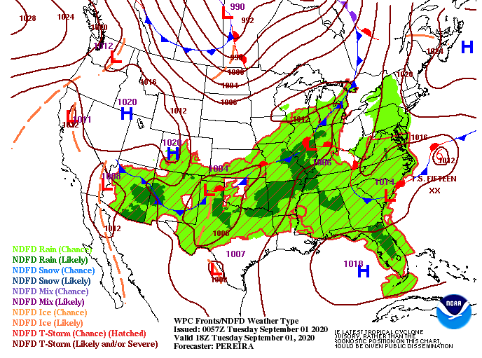
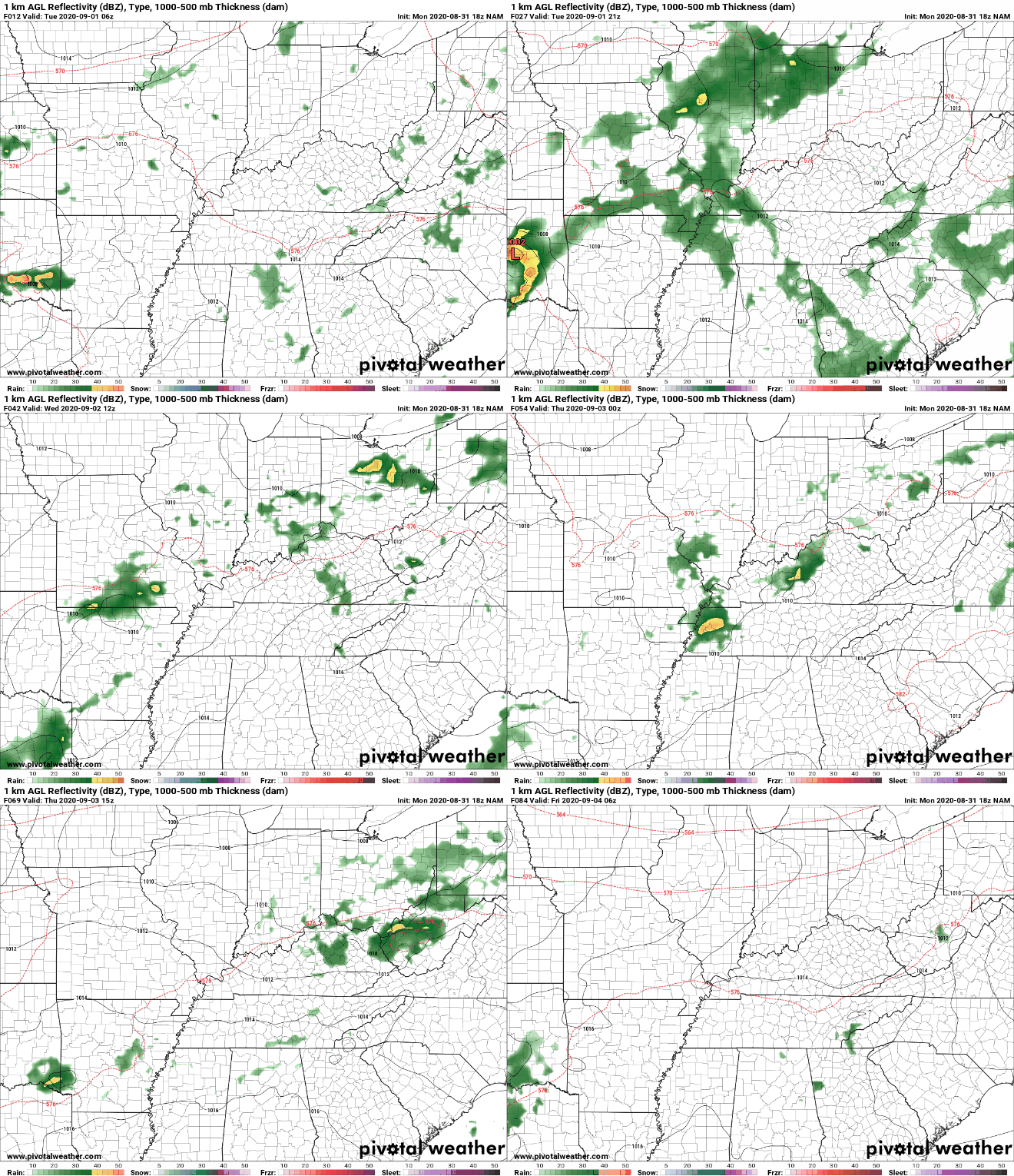
Patchy fog is hanging around this morning, especially for those in the higher elevations. This view, or lack of, comes from the Newfound Gap camera. For the remainder of us, cloudy skies are overhead. As we work through the day, clearing will take place allowing for sunnier skies by this afternoon with high's near 90 degrees. The current surface map shows us wedged between rounds of weak short waves through the region. As we saw yesterday and will continue to see through the week, rounds of afternoon showers are possible. More so tomorrow and Thursday, scattered afternoon showers and storms will develop in the early afternoon before dissipating overnight. To the north (top of the image) you can make out a cold front across southern Canada. This will be our "taste of Fall" as we work toward the weekend and early next week. With the added cloud cover to start the morning, that will help dampen shower activity this afternoon. For Wednesday, model guidance suggests pop up showers and storms in the afternoon before moving out overnight. This will likely remain the case through Friday before a cold front from Canada slides through. If you can make it through the heat, humidity, and occasional shower this week, a pleasant, dry, and cool weekend is ahead. Be sure to stay cool through the remainder of the work week. Afternoon feel-like temperatures today will be near the mid 90's with the lower 100's not out of question for Wednesday and Thursday. For more details and a look into temperatures this weekend, view today's forecast below.
0 Comments
Leave a Reply. |
Your trusted source for everything weather in East Tennessee.
Social Media
|


