|
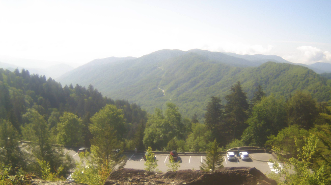
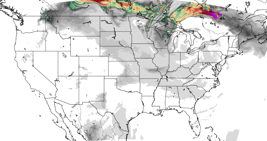
Good morning! Patchy fog has burned off and that's paving the way for a gorgeous day. Looking at the most recent view across the Smokies (10 AM), sunny skies are filling in nicely. This will be the trend for most today, though the southern valley (nearest to GA/AL) could see some better cloud and shower potential. It will be low chance nonetheless, but something to keep in mind. Elsewhere, mostly sunny to partly cloudy and mild with highs in the mid to upper 70s. With mostly sunny skies in place, a light haze will remain possible in the far horizon. Reason being? You probably already guess it but Canadian wildfire smoke. It will not be nearly as dense as it was last week, but in case you are curious, now you know. Moving forward, unsettled weather returns for Wednesday. A stalled boundary just south of the area will combine with rounding disturbances to bring shower and storm chances each day moving forward. Scattered showers and storms find us Wednesday afternoon to evening, some of which could be strong (gusty winds/small hail). Lesser chances find us Thursday, Friday, and the first half of the day Saturday, but a shower or storm can't be entirely ruled out. Saturday night another shot of rain arrives, but chances will be much higher. A low pressure system and cold front will look to target the area, bringing the return of widespread showers and storms. Rainfall amounts at this time look to vary between 1 and 2" but there is still some uncertainty in strength, path, and timing. This system could pose another round of strong to severe storms along with a flash flooding risk late weekend. Stay tuned for further updates with better details. That will wrap it up for today! I hope everyone enjoys a little sunshine and mild temperatures before hit and miss showers return Wednesday and last through the end of the work week. Widespread showers then follow later Saturday into Sunday. Pre-recorded for 5pm weather broadcast
0 Comments
Leave a Reply. |
Your trusted source for everything weather in East Tennessee.
Social Media
|


