|
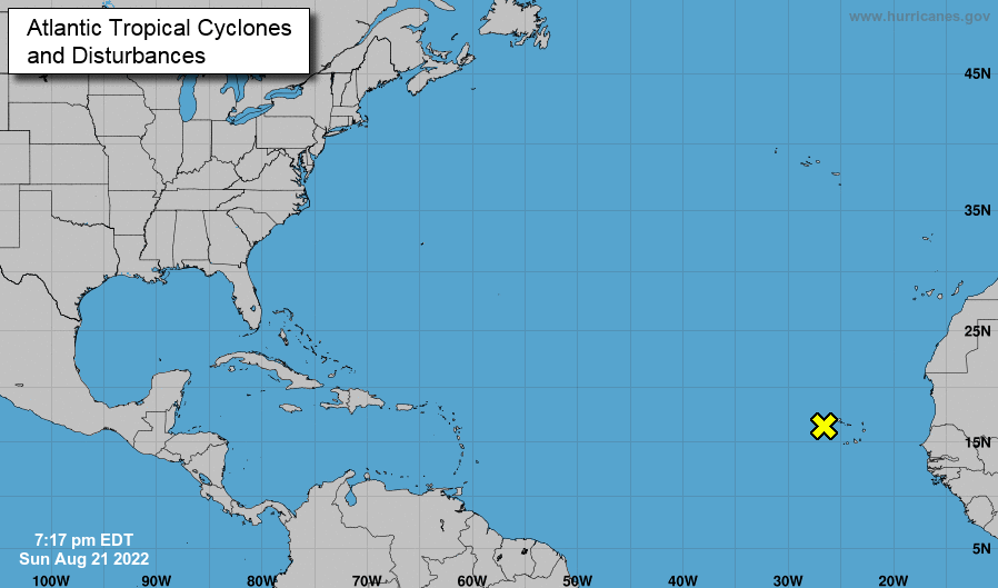
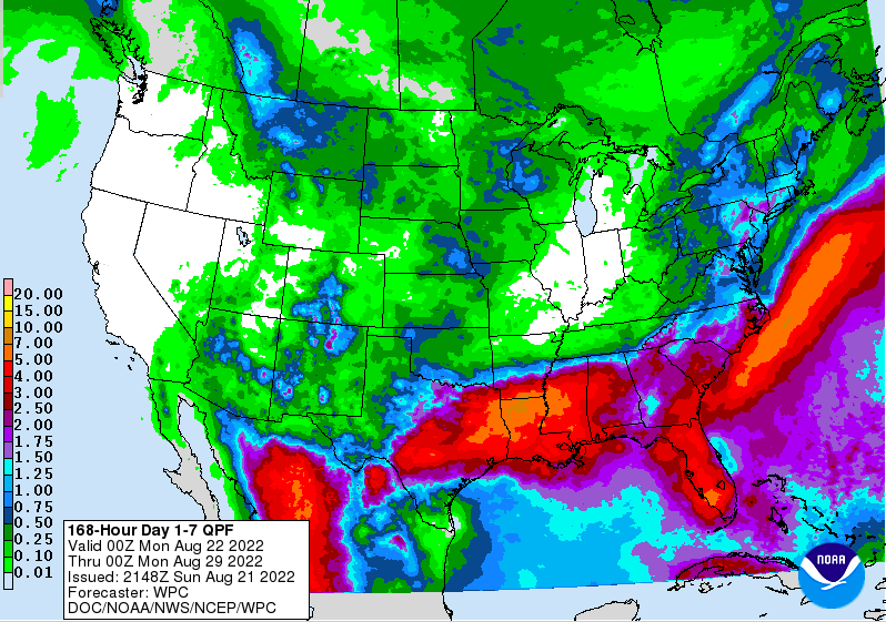
Hurricane season has been quit thus far, but should begin ramping up over the next few weeks and through the second half of the season. Looking at the current activity in the Tropics, a disturbance is just off the coast of Africa. Though chances for development over the next 2 days are low, it will be something to watch for. In terms of Tennessee, the last of a cold front is pushing through today. Other than a stray shower or two through early this afternoon, most will begin trying out today with sunshine in for Tuesday. Isolated to scattered shower and storm chances return Wednesday and through the remainder of the week, but this will be the typical summer-time afternoon pop up variety. Temperatures through the period will generally be near average (mid to upper 80s). Over the next 7-days, heavy rainfall is expected just to our south. Looking at the WPC rainfall forecast, upwards of 5-7+ inches can be expected across Louisiana, Florida, and Mississippi. Flooding is likely in some spots, so let any family or friends in these areas know to take caution now! Across our neck of the woods, amounts upwards of half an inch will be possible through next Sunday. Overall, a pretty quiet week can be expected. Other than a few pop up showers and storms each afternoon, most veer dry with highs in the mid and upper 80s. Have a good one and don't forget to check out our video forecast below. Pre-recorded for 5pm weather broadcast
0 Comments
Leave a Reply. |
Your trusted source for everything weather in East Tennessee.
Social Media
|


