|
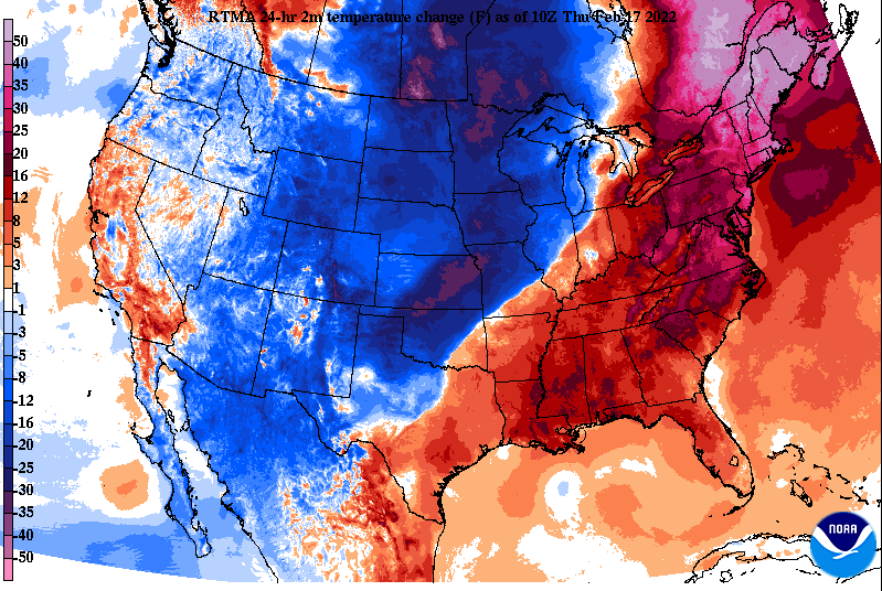
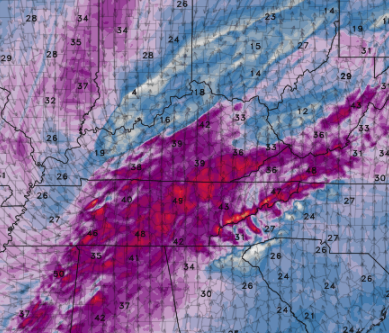
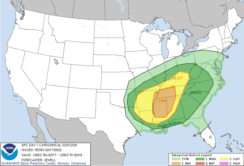
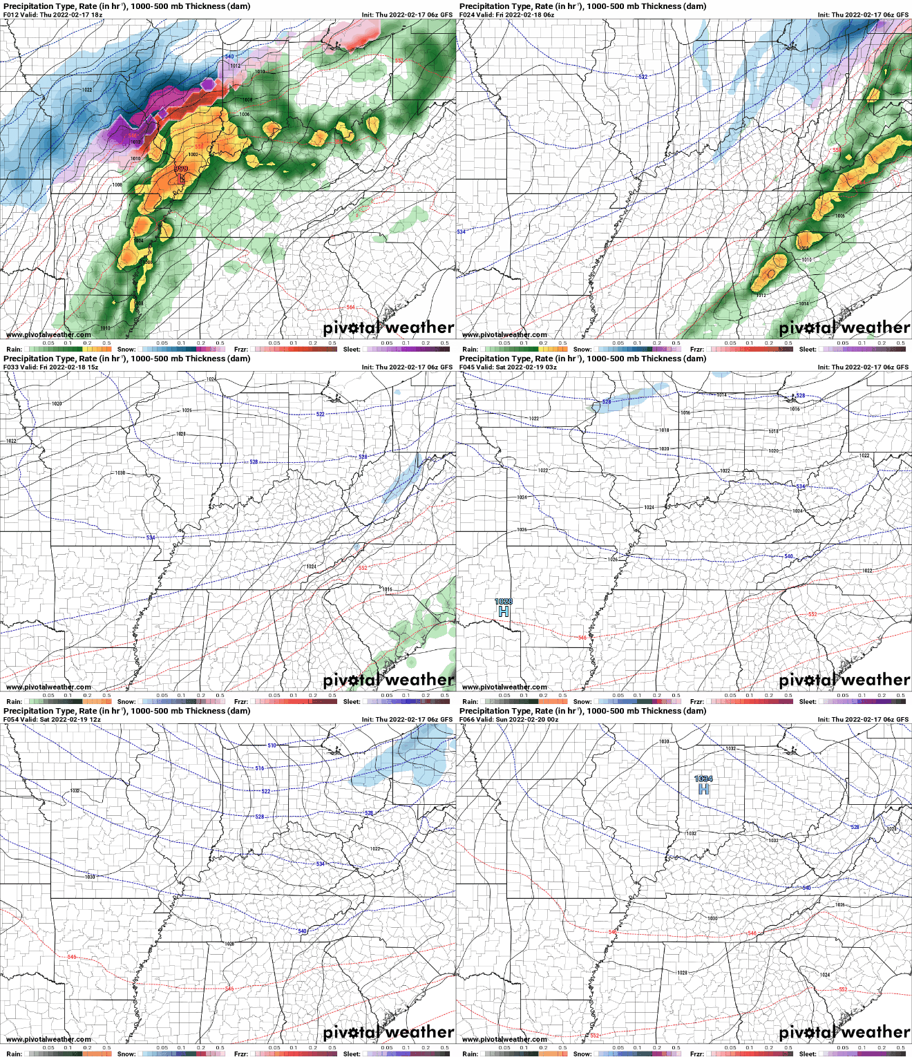
Good morning! An active day is upon us with yet again very warm temperatures and even more breezy winds. Looking at the change in temperatures from this time yesterday, we are much warmer. In fact, that is the trend for the entire eastern third of the US, with much cooler air slowly pushing its way east. This is associated with a cold front, which will cross the area tonight and into Friday, and be the driver for storms later today. As we saw/felt yesterday, breezy conditions will hang around today. Guidance depicts gusts upwards of 40-50 mph during the afternoon. I will note most of this should be prior to the onset of thunderstorms and be defined as non-convective winds. This will continue to pump in VERY warm and moist air. Highs today will range from the upper 60s to low 70s, with some locations nearing the mid 70s. Though this is very warm and roughly 20 degrees above average, we will still be a ways off from the record 79 degrees recorded on this day. The SPC has pinpointed a bullseye for the best severe potential and that is Northern Alabama/Mississippi and the western half of Tennessee. Guidance has actually been pushing for a more northern trend, so I would not be surprised to see the better potential more into Tennessee. Nonetheless, showers will be possible (isolated to scattered) through the early afternoon, before a line of storms works east. Within this line, all severe weather will be possible. The main threat will be damaging wind gusts (60 mph+), but large hail (3/4" +), and tornadoes are also possible. The biggest threat will be to our west & southwest, but this doesn't mean we are out of the woods. Flash flooding and flooding is also a concern, though with how progressive this system is and how dry it has been, we should fair better than worse there. The break down of activity can be seen below. The timing we provided yesterday remains pretty well on track, but in case you missed it: Initial Timing For Strong To Severe Storms: Eastern Middle TN/Plateau: 5-8pm Central Valley: 6-9pm Foothills & East: 8-11pm Following will be much cooler air to end the work week. Highs Friday will be in the low to mid 40s, with gradually warming temperatures through the weekend and mostly sunny skies. That will do it for now. Have a way to receive watches/warnings this evening and early night. Heavy downpours, lighting, and gusty winds will be possible in addition to the severe threat. We will be active on social media as well, so be sure to follow us: @SecretCityWx on Twitter & Facebook. Have a good one, be safe, and send us reports if you can!
0 Comments
Leave a Reply. |
Your trusted source for everything weather in East Tennessee.
Social Media
|


